
Day 23 April 24. On to Edisto Island. 28.9nm Total 676 miles


Left the City of Beaufort on a beautiful morning and followed the winding Beaufort River to the Coosaw River. Named after the native Indian tribe that inhabited this area. The river is about one mile wide and flows between the South Carolina mainland and the islands that make up the Beaufort area- St Helena, Pritchard, St Phillips, Fripp and Parris Islands.  We traveled about 10 miles of the river heading east toward the Atlantic Ocean.


 Just before the ocean we crossed the river and headed into the Ashepoo Coosaw Cut.  We held our breathe a few times as we came to shallow areas, but we squeaked by and made it safely through the cut.  There are two more cuts through the marsh islands that we took to finally connect with the South Edisto River. 


We traveled up the Edisto River to our anchorage behind Sampson Island.


Edisto Island has a similar history as the other barrier islands.  It was named for the Oisto Indians, whose mounds can still be found on the island today.  Jesuits missionaries came in the mid 1500’s and then the British settled in the area, eventually rice and sea cotton plantations sprang up.  There are several plantation buildings from Middleton and Beckett plantations still on the island.  Today Edisto Island is a popular beach resort.

We pulled up anchor and re entered the Intracoastal Waterway through another narrow channel called Watts Cut.  As we are going thru at high tide, we had plenty of water.  No holding our breath this time. But we did have  bit of fog!!


As we left the cut, we turned south into the South Edisto River to travel to Bohicket Creek Marina.  We will stay here for three days visiting my sister, Kathy and husband Dick, and also my cousin, David.


April 26

We enjoyed visiting with my relations, with a wonderful food and company.  Kathy surprised us by inviting our son to join us.  What a wonderful reunion!  We all took a short boat trip up the South Edisto River between Edisto and St Johns Island just south of Charleston.


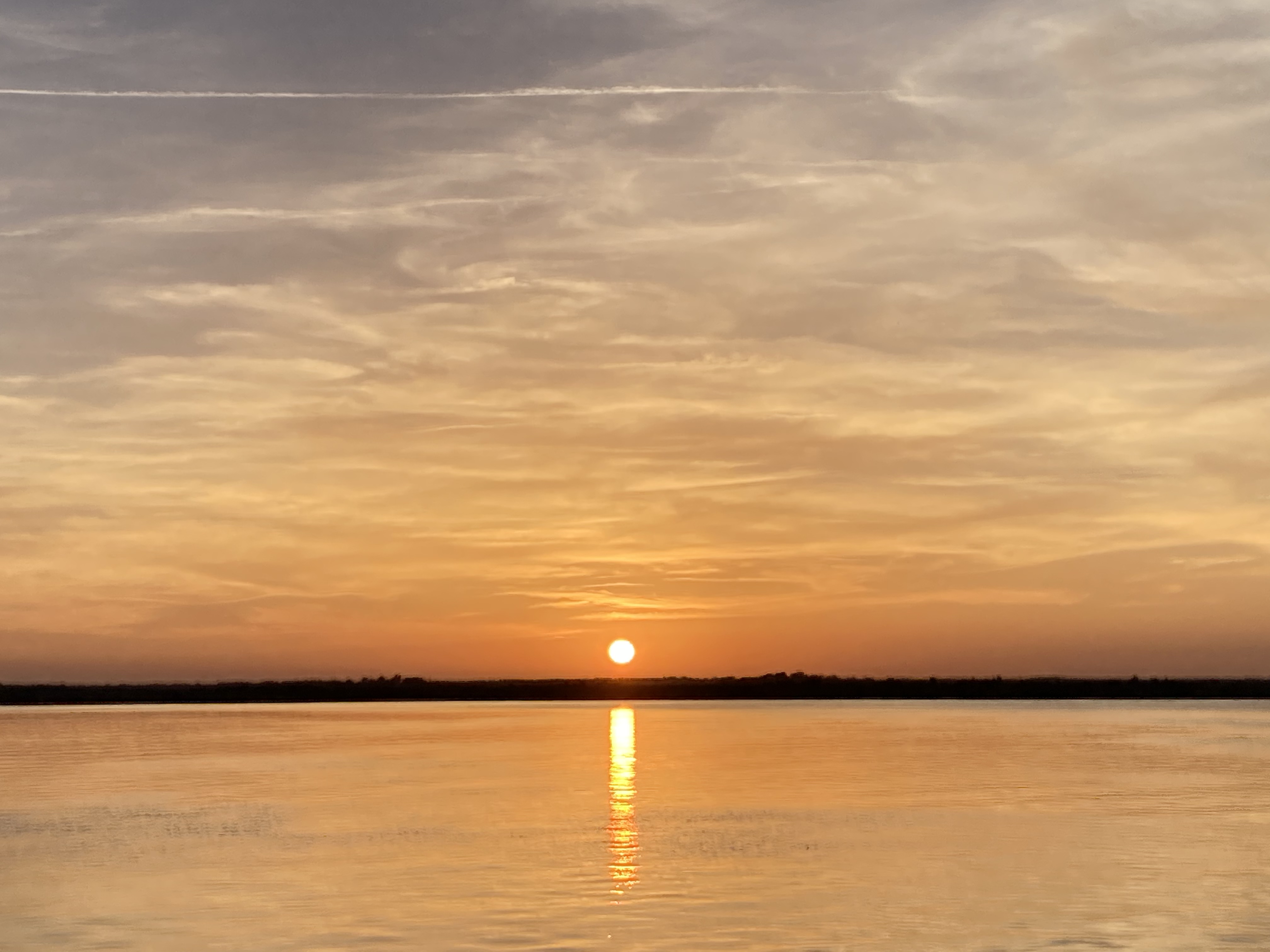
Plus another great sunset!


A side note, Bill entertained us by pulling on his wet suit to check the bottom of the boat.  A sight to behold!


Popular posts from this blog

Reflections on the Great Loop -

 Over the 5 and half months last year and the almost 7 months this year for a total of 351 days, we travelled 6348 miles, through two countries 19 states, traversed over 200 locks to find large cities, small towns, farmland, and vast natural waterways and bays. Our route took us through sites of the Revolutionary War, War of 1812 and Civil War, as well as the history of  how America grew along her waterways.  Beginning with canoes, rafts and barges people and goods moved through these waters.  The sailing sloops and steamships changed these rivers, requiring locks and canals to be built to facilitate travel and commerce.   Today it is amazing how much commerce moves through these waters.   We developed a healthy respect for the freighter and tow captains and lock masters and harbor masters that keep the system working. We have lasting impressions of early morning sunrises, beautiful sunsets, and moonlit bays,  the hospitality in all the towns we visited, the vast undeveloped shorelines

Day 194-195. 2nd year. December 3. On to Redington/Clearwater and then to Home. Miles 15 Total MIles 6021

 Slept in again. Was nice to finally catch up on our sleep.  Found our morning a bit foggy but promises to be a sunny day once it burns off. One of the boaters attracted a female manatee and her baby with his hose, so we walked over to the next dock to enjoy the show.  Manatee are often found in shallow areas this time of year as they like the warm water.  They also will take advantage  of access to freshwater, especially if a hose is left hanging over the side of a boat. Bill also took some drone shots of Caladesi State Park. We did one last beach walk before we left today, turning north to explore that part of the island.  Found a few turbans, an olive, 2 small horse conch and a whelk for our shell treasures today.  Sea fog started to come in off the Gulf so we turned around and headed back to the boat. We left later in the day as we had to be close to a high tide to get out the channel at Caladesi.  A local boater offered to lead the way to a cut that provides more water so we took

April 2 2022. We cast off our lines!

 Day 1. April 2 We cast off our lines at 9:00am on out Great Loop adventure.  Our friends, Phil and Aggie helped record our departure.   The weather was overcast as we traveled out our canal and into Tampa Bay.  As we approached the Skyway bridge a dolphin twice leaped completely out of the water, playing in our bow wake.  An omen of good fortune for our adventure! As we ended our Tampa Bay crossing, the sun began to peek out and as we traversed past Longboat Key/Bradenton and entered Sarasota we had ourselves a sunny day.  We traveled 34.4 nautical miles in four hours and anchored behind Otter Key, a mangrove Island near Lido Key in Sarasota.  There we joined another boat from St Petersburg, FL.  The owners were for many years sailors from the Caribbean down to Panama.  What adventures they shared! The anchorage sports lots of manatees, dolphin and of course, the osprey who lords over Otter Key. Once settled properly, we took a nap,  Will spend the rest of our day with a glass of wine