
Day 85. June 26 Waterford NY and the Erie Canal

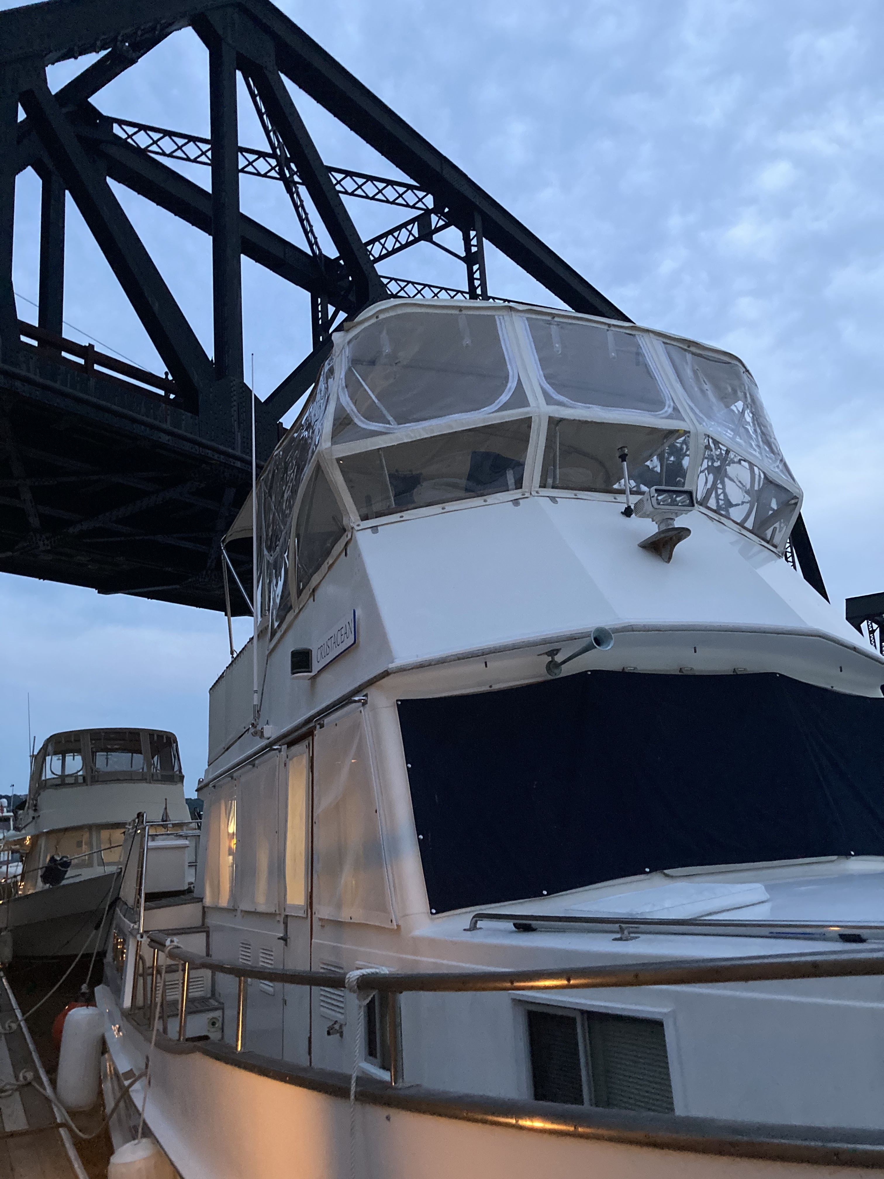
 We stayed today at the Waterford dock.   Started our day enjoying the small farmers market and live music here in the dock area.  Quite a few locals also enjoyed the morning here.  


Waterford is a small town which was originally settled by the Dutch for trading furs with the Mohican Indians of the area.  The town became a shipping hub in  the 1700’s as sloops from New York would travel up the Hudson to Waterford.  The town expanded as the shipping grew and in the early 1800’s shipping expanded further with the construction of the Champlain Canal, connecting Lake Champlain to the Hudson and the Erie Canal, connecting the Great Lakes to the Hudson River.  Thus Waterford became the connection point for the Hudson River and all point north and west.   Besides the shipping economy, Waterford also had textile mills, iron works and constructed fire engines.

Next we walked to the juncture of the Hudson and Erie Canal and took a picture of the sign providing directions to the boaters to either stay on the Hudson and go up the Champlain Canal or turn left to enter the Erie Canal.  


 Now a little background on the Erie Canal.  The Erie Canal is a 524 mile inland water route connecting Waterford to Buffalo, New York.  Along the way you pass through 16 counties, 200 cities/towns and two Great Lakes. Originally the Erie Canal was a ditch only 4 feet deep and 40 feet wide, hand dug through the forests, swamps and mountains connecting the Hudson River to Lake Erie.  There were 83 locks which allowed the barge traffic on the Hudson River to rise 571 feet at Lake Erie.  This humble “ditch” as it was called, opened up  a water route to the Great Lakes and the Midwest.

The Erie Canal has operated continuously every navigation season since 1825.  It has been enlarged twice and route changed to include the natural Mohawk River and Seneca River. The locks have been reduced in number and modernized.  Today the Erie Canal has 35 locks and has a controlling depth of 14 feet and is from 120-200 feet wide and is 340 miles long.  Our boat will have to get used to bring in fresh water for the next 6 weeks!

We walked the trail to the next two locks, each raising vessels 33-34 feet.  Enjoyed watching the locks work today compared with how the original 40 foot canal operated by mules pulling the barges on the tracks still visible along the older canal section.  Apparently barge owners would rent mules from local townspeople for 25 cents or the barge owners would use the front section of the barge as a stable for the mules they owned.


Old spillway on Erie Canal


Picture above is canal boat used in the 1900’s by the lock masters. Bill had to rest from so much walking.


As we were walking back along the locks we noticed Pivot in Lock 2 so we waited to take a few pictures of Jen, Elliot and Ollie in the lock. Was fun to see their expression as their boat rose above the lock wall to see our familiar faces!!


Tomorrow we will go through the first 5 locks which are collectively called the Waterford Flight. This series of locks raises or lowers boats the greatest height in the shortest distance of any canal in the world.  We will rise 169 feet in less than 2 miles. It takes about two hours to complete  all five locks.  

Bill took some night shots of the wall at Waterford.
G


Day 86.   June 27.        On to Blain’s Marina.      5.8 Nm.        Total 1819

We left the dock wall at Waterford later as we waited for showers to pass before we headed into the fight of 5 locks.

      We locked thru the Waterford Flight with a 28 foot power boat and it took us just under two hours to rise 30-35 feet in each lock for a total of 169 feet.   Was amazing to look back in the lock and see how far we had risen.  Got some good shots as we locked through.


After the locks there are two guard gates which help regulate the water levels in the flight.  The second guard gate also guards against some one entering the lock while other boats are locking from the opposite direction. This gate was lowered as we passed through as another set of boats were ready to go up the flight from Waterford.


After completing the lock flight we entered the Mohawk River.  The river is mostly wooded with sections of homes visible from the canal.  In this section the Erie Canal path continues along quite close to the edge of the canal.  Further along the path route it meanders close and then away as the terrain along the canal changes.


After going under we turned into Blain’s Marina and got the holding tank pumped out and then tied up to the dock.  Will stay here while we travel to visit our new Grandbaby Avery in Atlanta and of course her Mom and Dad.


Popular posts from this blog

June 4-5. Day 63-64. On to Cape May New Jersey. 53.4nm. Total 1534 miles.

 Left Delaware City at 5:35am to be able to take advantage of the strong currents going with us while traversing Delaware River and Delaware Bay. The Delaware River goes south about 15 miles and flows into the Delaware Bay. As we travel south, New Jersey is to the east and Delaware is to our west. We are traveling just outside the shipping channel and are really moving at 10.9 knots.  That is three knots faster than we normally travel, as the outgoing tides are pushing us along.  Nice to have Mother Nature helps us save on fuel.  The Delaware River is about 8 miles wide so there is plenty of room for the freighters and the pleasure boats.  So far, we have not encountered any commercial traffic, but there is a large freighter behind us that will eventually pass us as they travel at 14 knots. The Delaware Bay proper varies from 23-29 miles wide and 26 miles long.  There are five lighthouses on the Delaware marking the shipping channel.  We went by Ship J...

Reflections on the Bahamas

Reflections on the Bahamas Over the past 10 weeks, we have traveled through Abaco,  Eleuthera and Exuma Islands and enjoyed the hospitality of the Bahamian people.  We have learned all about the islands, its unique geography - limestone, caves, blue holes and chalk cliffs; and colorful history-pirates and rum running, salt ponds and cotton plantations, boat building and wrecking/salvage.  Traveling over 1300 miles through narrow cuts and wide bays to vast depths of ocean, we negotiated the islands and found safe harbors, calm coves for anchoring, bays filled with moorings and marinas large and small.  This trip required us to pay close attention to the weather, the tides and currents as we traveled between and through the islands. The Bahamian people are warm and friendly, willing to give us rides, advice and directions, as well as some secret recipes!!  We enjoyed hiking trails, walking the beaches, snorkeling the coral rocks and reefs, discovering ruins and ol...

Day 64-65. May 25-26. On to Peck Lake, Jupiter, FL and then on to Indiantown/ Okeechobee Waterway. Miles 63.5/ 29.1 Total Miles 1122.1/1142.0

  Day 64 We started early to get ahead of the holiday boat traffic. Weighing anchor at Lake Sylvia in Fort Lauderdale, we traveled on the Intracoastal Waterway past the iconic Pier 66 Tower and Bahia Mar Marina.  We then turned north and passed the older sections of the city - Las Olas( older homes), Galt Ocean Mile (one mile of condominiums on the beach), and the famous miles of beaches on the Atlantic.  I used to live here in the early 70's and the biggest change I see is the older smaller homes on the water are being replaced with larger versions and a few more condo towers have been built. As we go further north towards Commercial Blvd, North Fort Lauderdale, and Pompano Beach and its Lighthouse at the cut, there is less reconstruction. The next town we traveled through was Boca Raton with its Spanish architecture, Camino Real and its  landmark tower. The sand bar at the cut was just beginning to fill up  with Memorial Day revelers as we went by. Next were t...