
Day 100. July 25. On to Beaurivage Thousand Islands. 8.1 Nm. Total. 2078

 We slept in and did some boat chores, then launched the dinghy to explore the Navy Island group of the Thousand Islands ( Mulcaster where we are docked is part of this island group). 


The major islands in this section of the Canadian St Lawrence are grouped into Lake Fleet, Navy and Admiralty Islands.  The Lake Fleet islands are named for important ships in Canadian History.  The Navy Islands are named for the captains of those ships and, of course, the Admiralty Islands for the Admirals.  Most of the rest of the islands names are based on their shape or an owner of the island. 

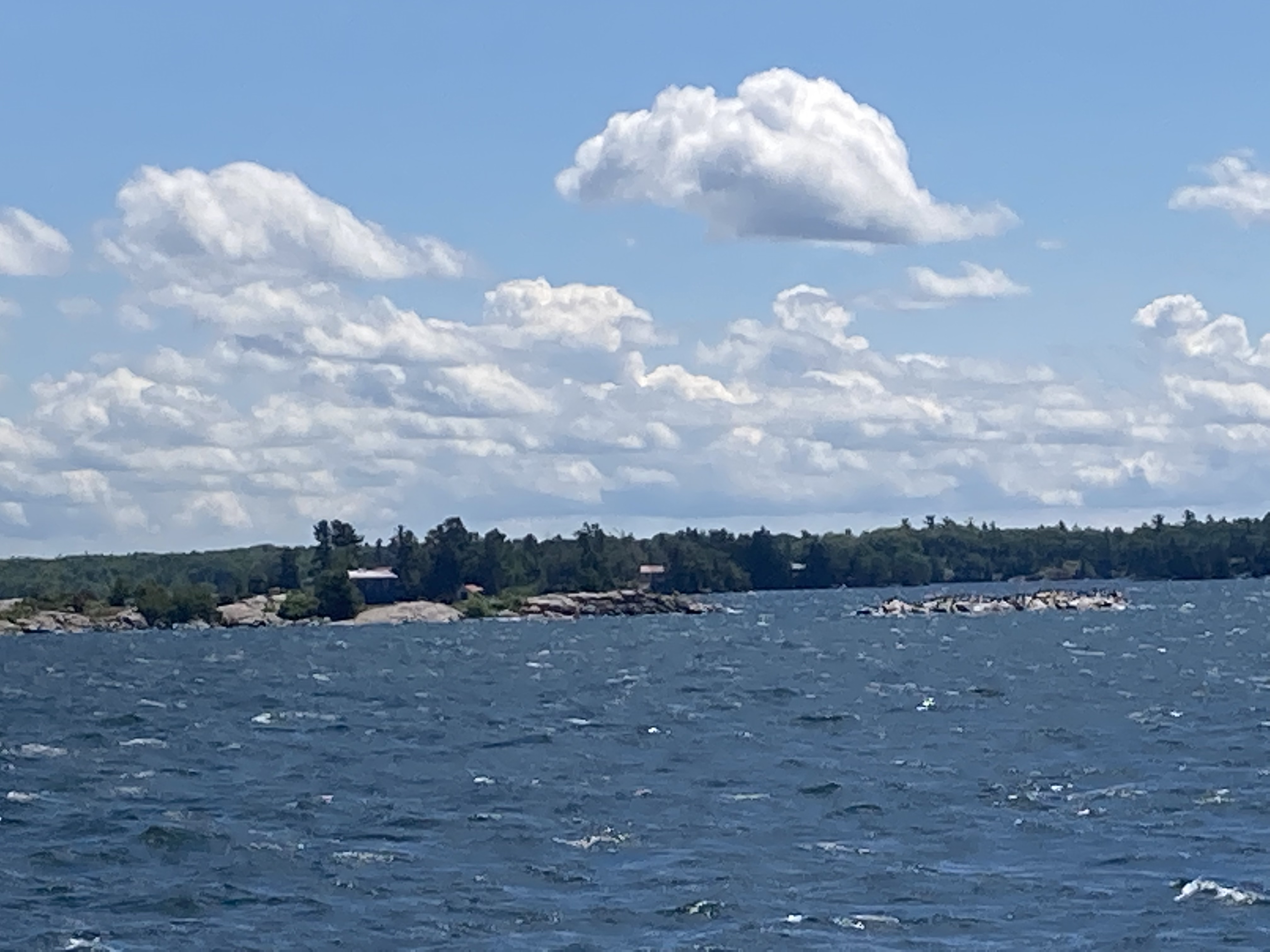
After our dinghy ride, we prepared to leave the dock and head out into Middle Channel and headed south about 10 miles to the Admiralty group, where we will anchor for the night.


Along the way we passed the Lake Fleet group, but were warned that navigating between these islands with a boat our size can be tricky. So, maybe next year.  We also passed the town of Ganaoque, Ontario.

Further south we encountered the Admiralty group of islands.  We came in behind Beaurivage Island and anchored with 5 sailboats, one of which was Council Flats which we met in Cape Vincent and was so helpful with info about the Thousand Islands.  Once we settled in we set off to explore the islands by dinghy and walk the trails on Beaurivage Island.


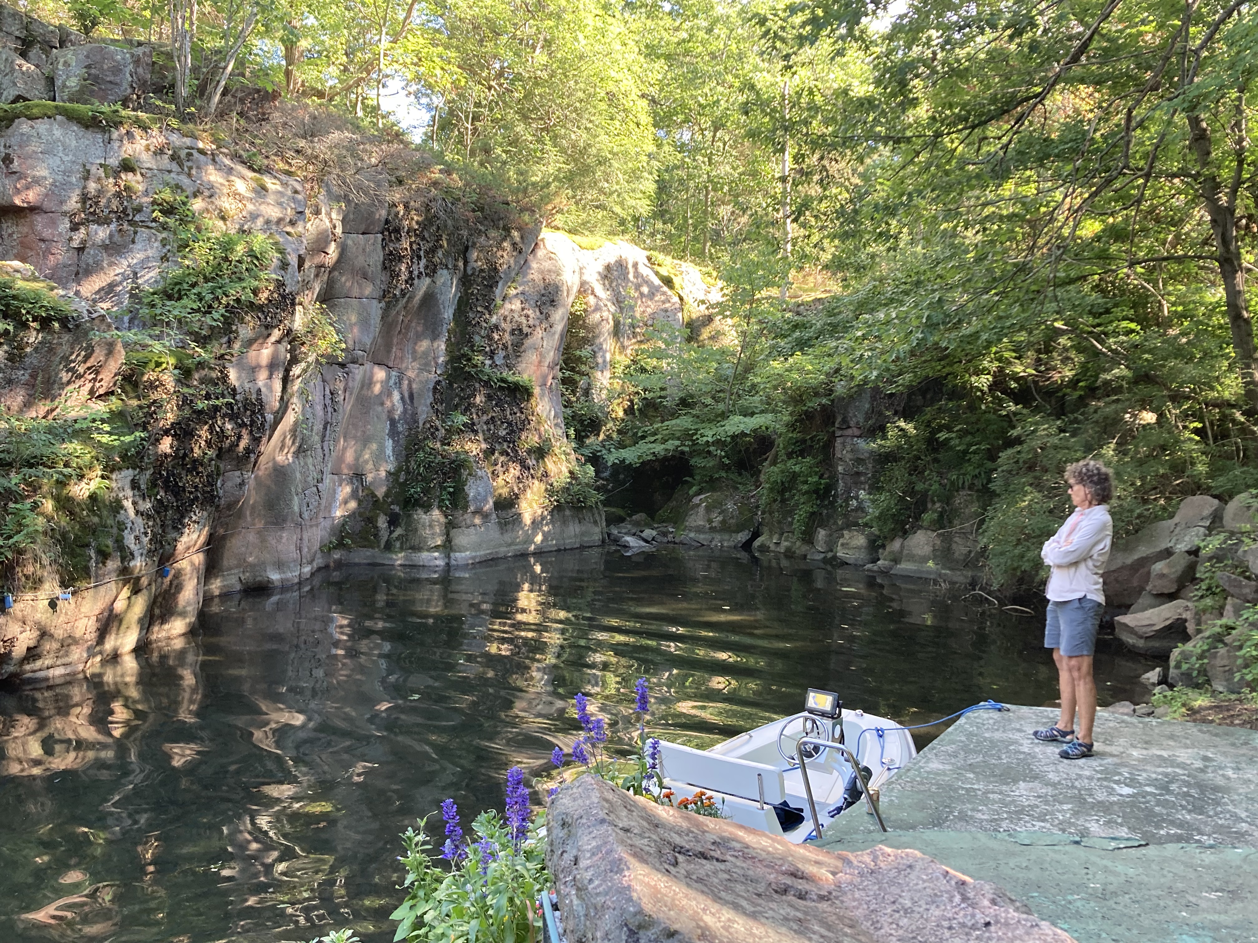
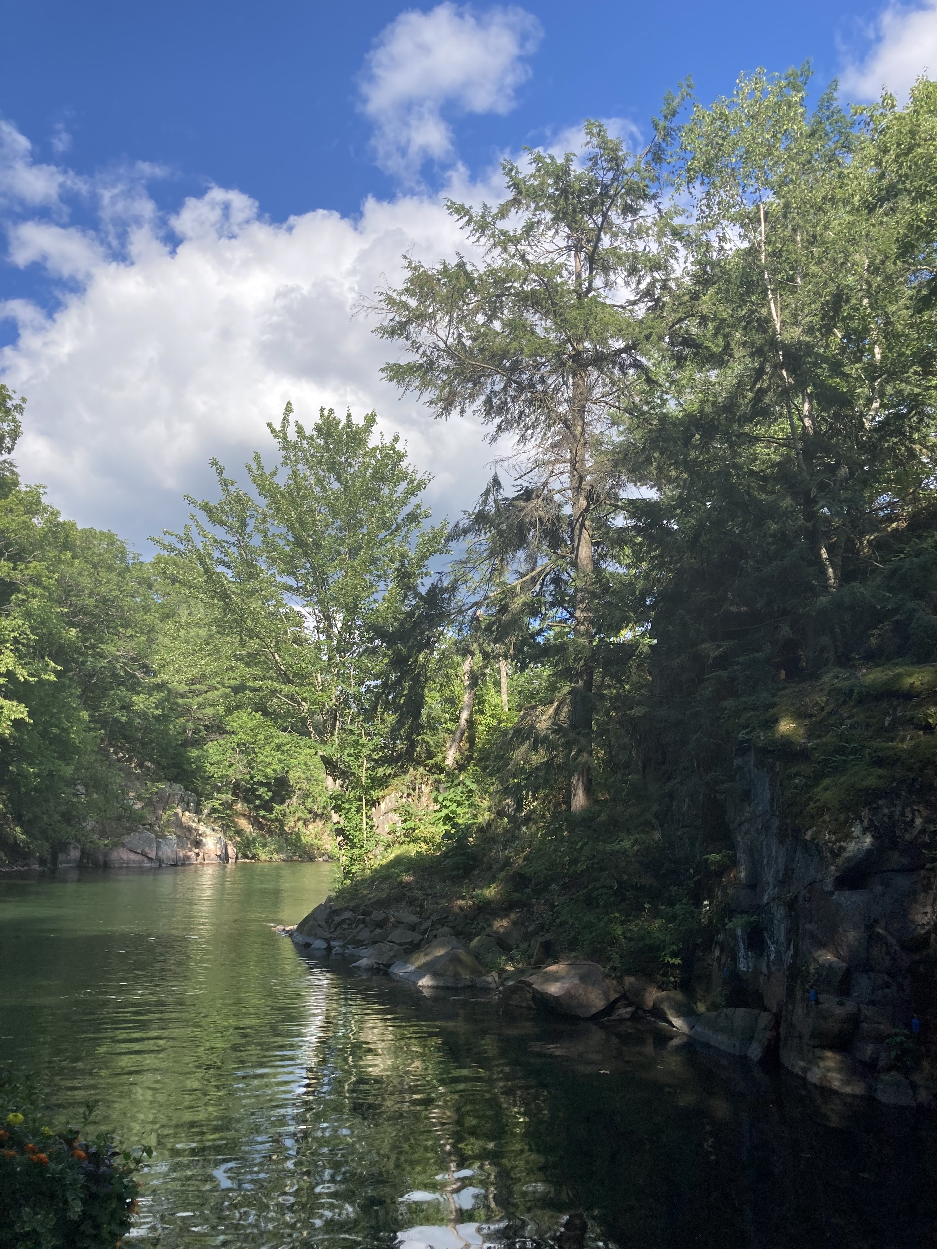
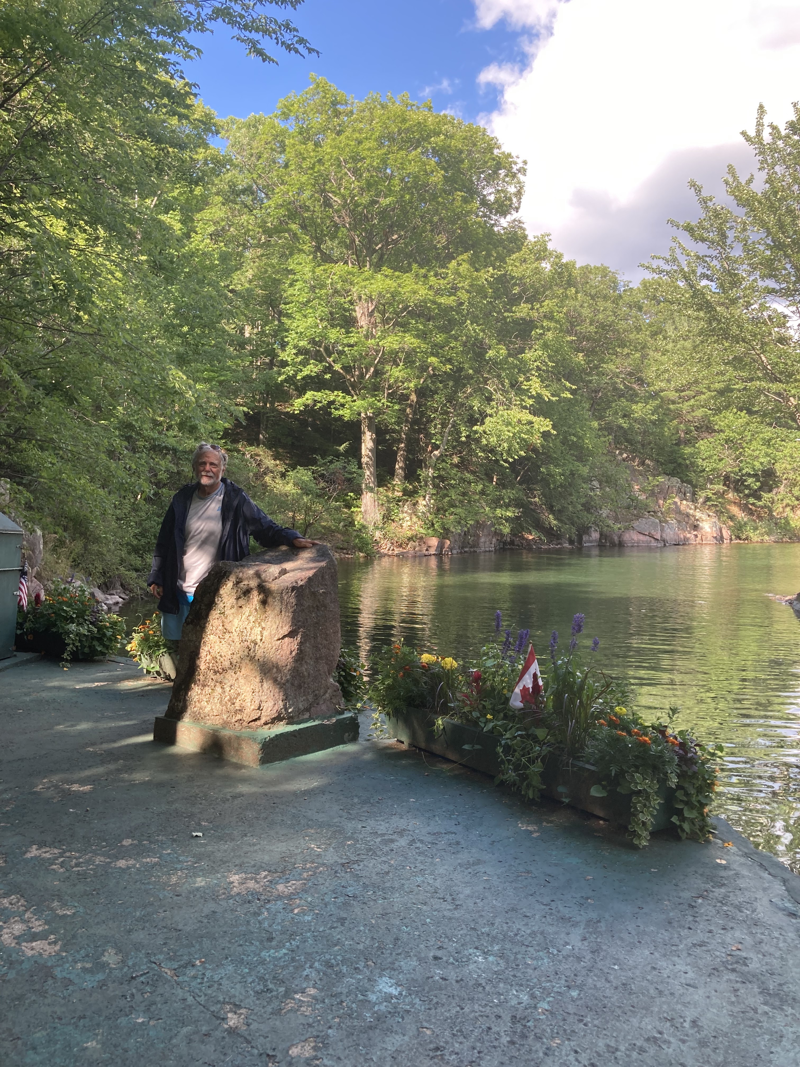
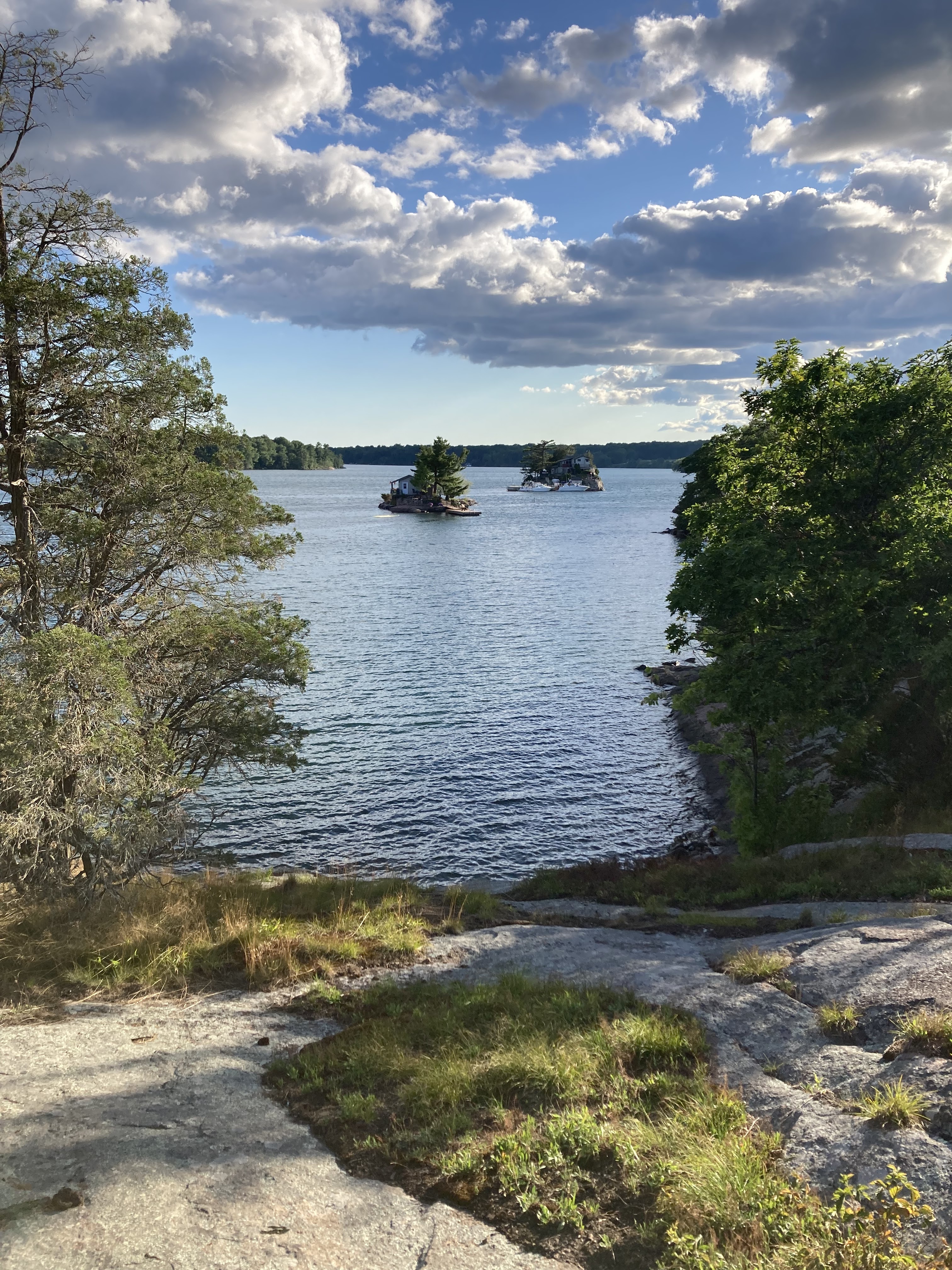
The Admiralty Islands has many more small rock islands among the larger islands.  Had to be careful to negotiate around all the rocks.  In our dinghy travels, we tucked into Half Moon Bay on Lindsay Island , where there is a cove with high granite walls.  Boater come here to attend church service which is offered twice a week during the summer.  Boaters tie up to the rings along the cove’s tall  granite walls to participate.  There is a prominent rock which is used as a lectern for the presiding minister. Unfortunately we came about the right time but wrong day to participate in the service.


We then docked at Beaurivage Island.  Beaurivage is part of the Parks Canada system.  It has multiple small docks around the island, many of which were filled with houseboats and families enjoying the island.  There are 8 campsites, lots of picnic tables and composting toilets in the one restroom facility on the island.  We enjoyed walking the trails and viewing the scenery as we  hiked around the island.  We even met a Canadian from Quebec that wants to do the Loop!


After our full day, we had dinner and relaxed and watched the sun set.


Drone shots of Beaurivage and Admiralty Islands.


Popular posts from this blog

Side trip to the Bahamas- Preparations

 As we prepare for our Bahamian Adventure, we are making lists upon lists of things to do and provisions to buy for our upcoming trip to the Bahamas. Bill has spent much time readying the  boat for the cruise, checking engines, batteries and all the systems on the boat - electrical, plumbing, navigation, refrigeration and air conditioning.  Sure kept Bill busy!!! We took the boat out to check all the systems and to get fuel.  We had to re-remember all the navigation and auto pilot workings and surprisingly we did remember!! We have spent the last two days loading the boat with provisions- water, food, tools, clothes, toiletries and cleaning supplies, and our pantry and cabinets are full.   We are sitting a bit heavier in the water now that we are fully loaded.  Also Bill has finally gotten his TO DO list down to the few remaining items so he sees the light at the end of the tunnel!! We have researched the charts and guide books and have a tentative pla...

Day 24-25 April 15-16 On to Hopetown and Lay day in Hopetown. Miles 12.6. Total 460.6

Day 24 We had a change of plans.  Our friends who we met cruising the Loop, Trisha and Mike, are traveling north through the Bahamas and are close, so we will join then in Hope Town.   We will then back track a bit to visit Man-o-War Cay and Marsh Harbor after visiting with them. It is a bright sunny day with light winds as we weigh anchor to leave Great Guana. There is lots of freight and commercial traffic today- tugs and barges, large freighters and flat bed delivery boats.  It takes all these to handle the shipping needs and construction on the islands. We trip today took along the north east side of Great Guana and then past Scotland Cay, which is all privately owned.  Next we passed Fowl Cay which is a nature preserve known for its diving.  Following Fowl Cay is Man-o-War Channel with its deep water access to the Atlantic and Man-o-War Cay, known for its ship building and maintenance. Sorry, pictures of the passes and islands did not turn out too well...

On to Allan's-Pensacola Cay. Day 12. April 3. Mile 35.2. Total mile

  Day 12 We left our anchorage at sunrise to head out of Great Sale Cay Harbor. Turning west and then north, we will cruise around Great Sale Cay toward Abaco's barrier islands, eventually reaching the eastern edge of the Little Bahama Bank today. As we turn Northeast, we get some spray.  Crustacean is quite salty now!   Winds are out of the east 10-15 knots with waves at one foot. We cruise past Little Sale Cay we see a steady stream of sailboats going both east and west.  I counted 15 total.  Nice wind for sailing. Halfway through our trip, you begin to see the outer barrier islands on the horizon to the north.  Five miles later you can see Little Abaco Island to our south.  Here is a chart of the area we traveled from Great Sale to Allan's-Pensacola Cay today. The further we travel east, the Little Bahama Bank narrows,  The winds pick up and seas run 1-2 feet. Crustacean got even saltier! As we approached Allan's-Pensacola the wind and sea...