We began our day by pulling anchor and threading our way out of the Admiralty Islands and into the Bateau Channel. This channel runs between the Canadian shore and Howe Island.


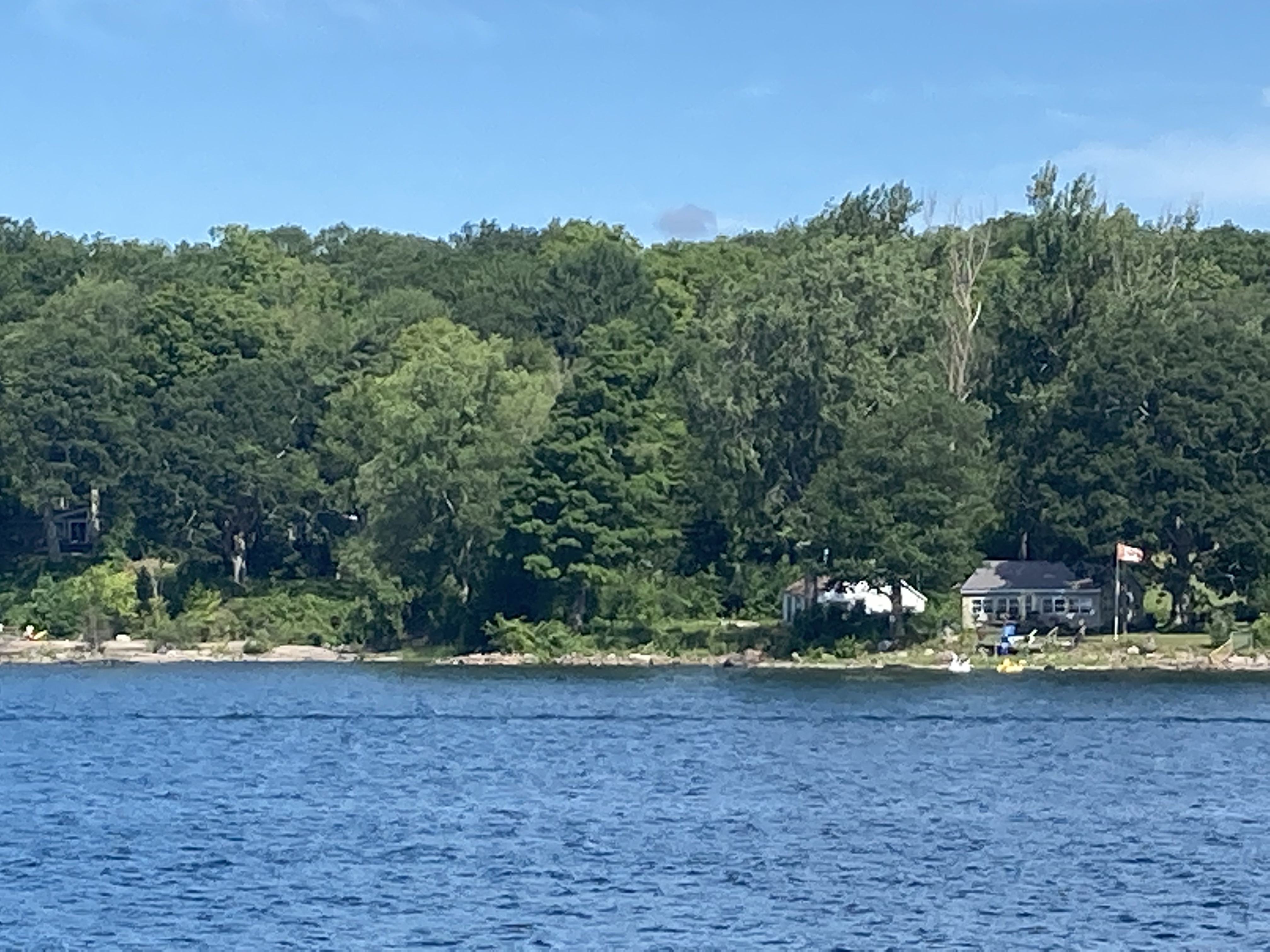
The shoreline of Howe Island is a mixture of small cottages and farm buildings, but as we get closer to Kingston, there are many larger homes. Howe Island is only accessible by boat or cabled ferries on the ends of the island. The Canadian shore was much the same minus the farms.


Continuing down the channel, we had to take care to watch for the cabled ferries that connect the mainland to Howe Island. A cable lies on the river bed and as the ferry moves along the ferry picks up the cable and after the ferry passes the cable falls back to the riverbed. So you don’t go near the ferries as they are crossing the channel!

Closer to Kingston, we leave Howe Island and we travel behind Wolfe Island, which has wind turbines on its north west side like we saw as we passed this island on it southwest side. Would love to know how much electricity is generated by all those wind turbines. I looked it up. The project is half complete with 86 2.3 Megawatt wind turbines. The project once completed is expected to generate 594 Gigawatt hours, enough to power about 75,000 households. Interesting to note that the whole west of the island is taken up by this wind farm and Wolfe Island is a big island!
Approaching Kingston we see Cedar Island with its Cathartic Tower, Fort Cataraqui, now called Fort Henry (1813); the earth works at the site of Fort Federico (1813) and the Royal Military College (1874).

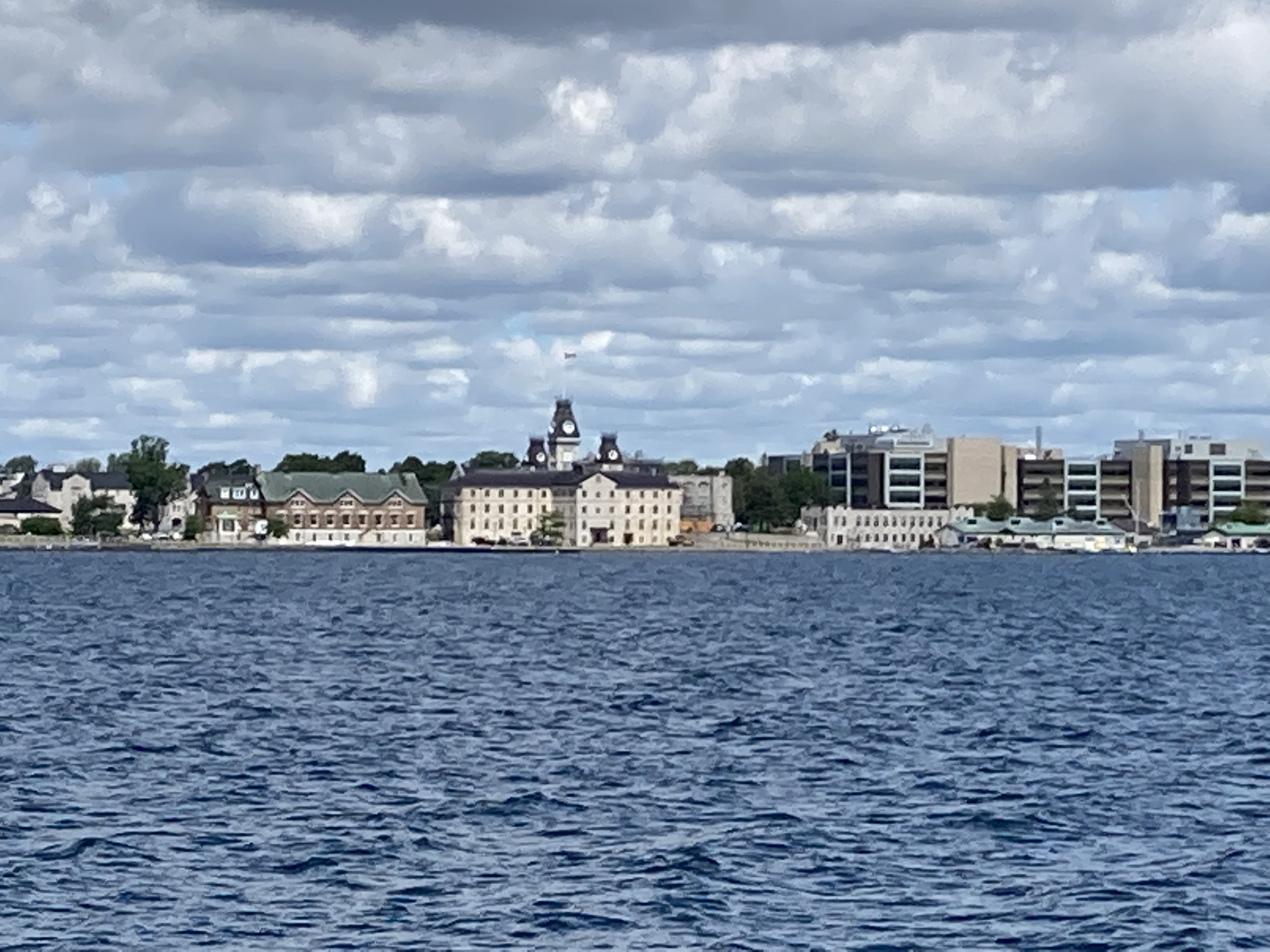

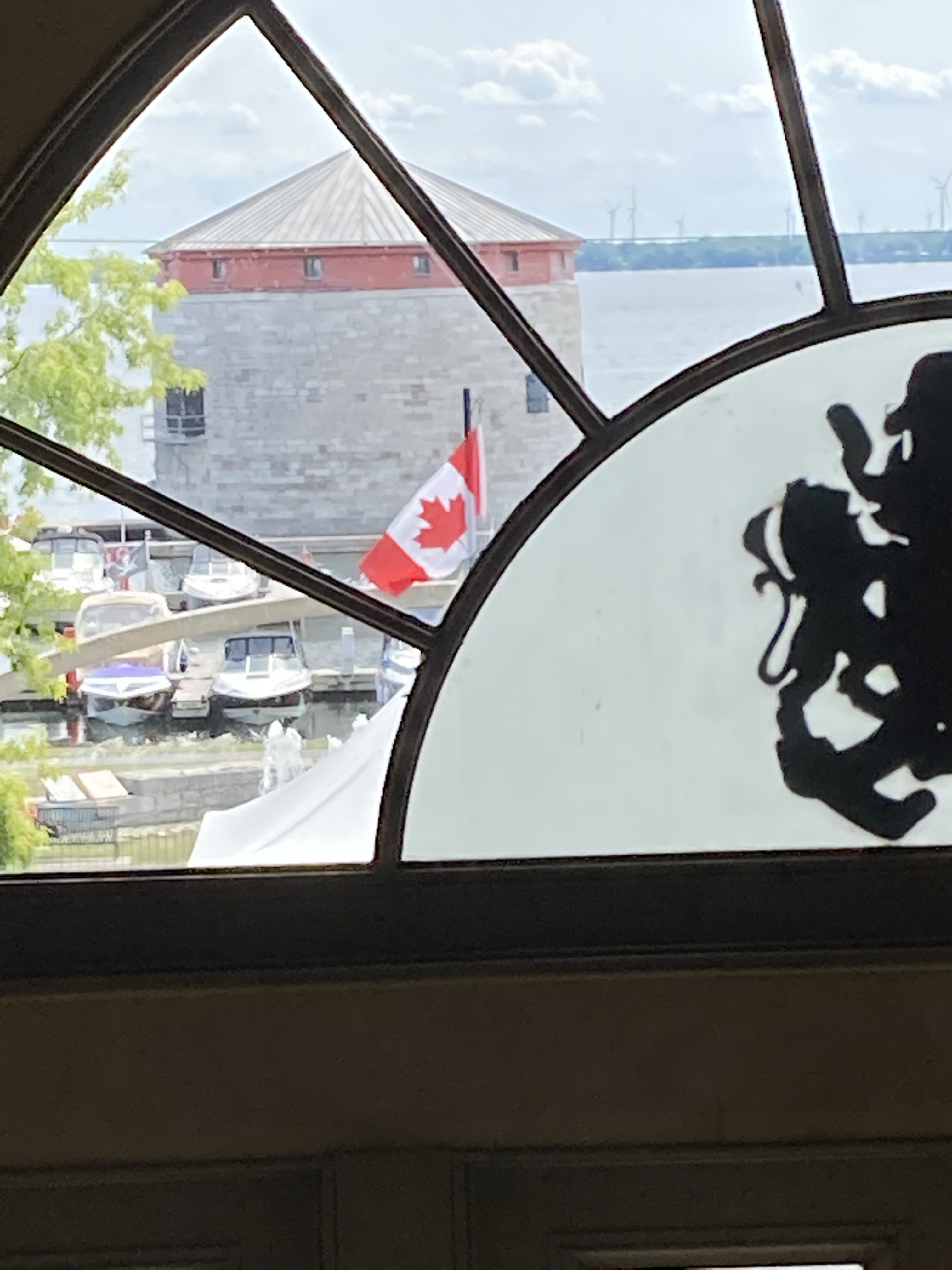
Now for some history of Kingston, Ontario. The area was first settled by the French when they built a fort at the eastern end of Lake Ontario and the entrance to the St Lawrence and Cataraqui Rivers. The fort was built to protect the fur trade routes on the lake and rivers. In 1783, Loyalist from the US settled here after the Revolutionary War. They called the area King’s Town. In 1813 the British built Fort Henry on the site of the French Fort Cataraqui. In 1840, with border hostilities increasing between the US and Canada, the British expanded the defense system of Kingston to add four Cathart Towers. These squat limestone cylindrical towers are 3 stories tall with walls that are 6 feet thick facing the water. The third floor served as a cannon platform where the cannon were mounted on a steel track so they could be maneuvered to shoot 360 degrees. Roofs were added later to each tower. The second floor housed 30-40 soldiers with the first floor for storage of supplies and ammunition.
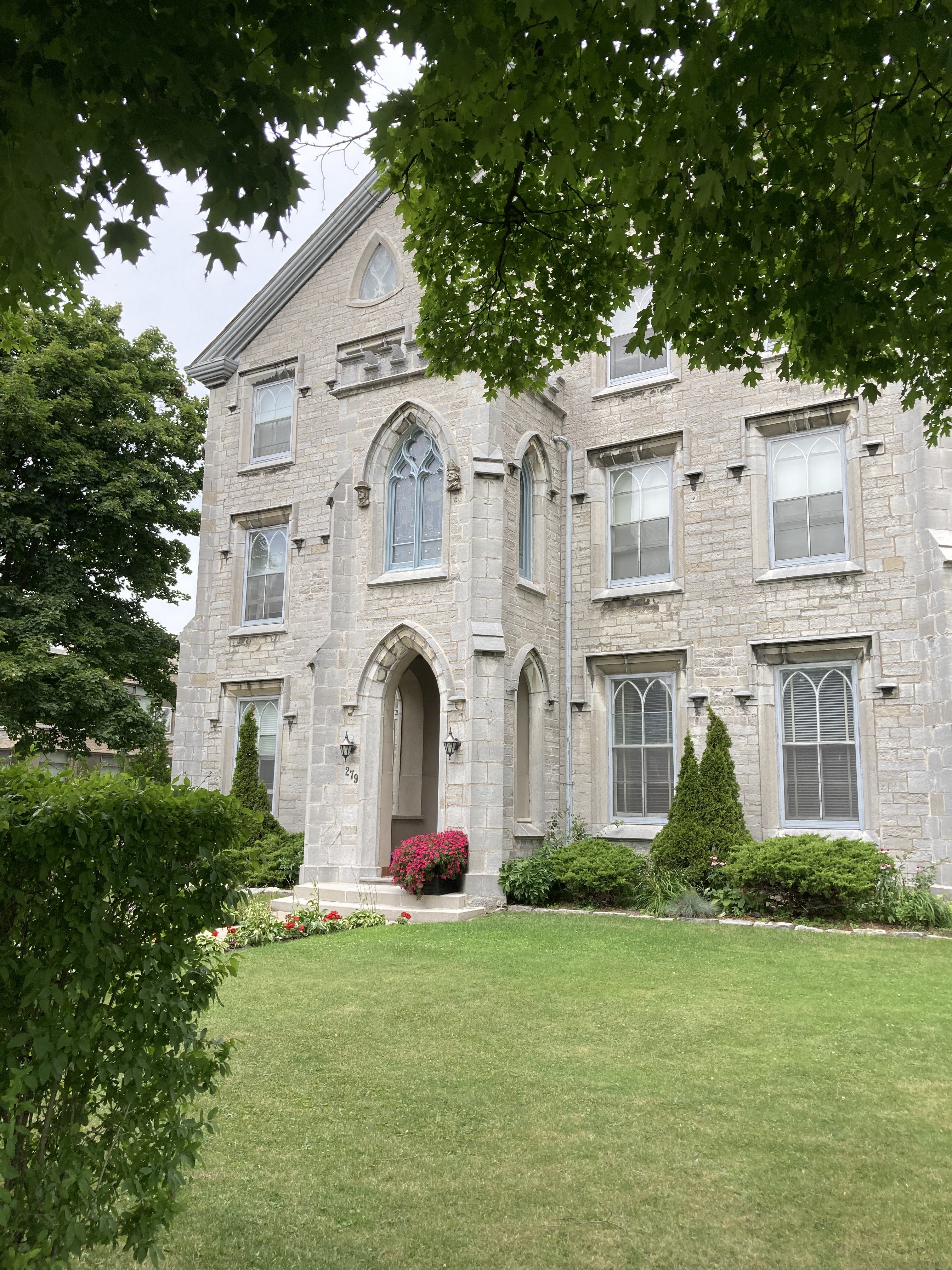
Today Kingston is known as the Limestone City for its many historic limestone homes and buildings, as well as a yachting center. Kingston has many marinas and businesses that support boat maintenance and supplies.
After fueling up at one marina we headed to Confederation Basin Marina to dock for two days. Once settled we walked the city and enjoyed the small Museum of the Great Lakes and all the historic buildings near the water front. We ate a late lunch in a very old pub. I had fish and chips that were delicious. After lunch we continued our walking tour , had ice cream, and came back to the boat to relax. This evening we will tackle getting resupplied with groceries.


I caught Bill napping at the pub after his lunch!

We had a lazy morning and headed out to discover more of Kingston. We started by walking through Kingston City Hall, which served as Canada’s capital building for five years until the capitol was moved to Ottawa.


We then toured the older churches downtown. Of interest, most of them are on or near Clergy street.


We then walked through a neighborhood with beautiful front yard gardens and then down Princess Street a busy business district and had a wonderful lunch at Local Grocer on their street patio.


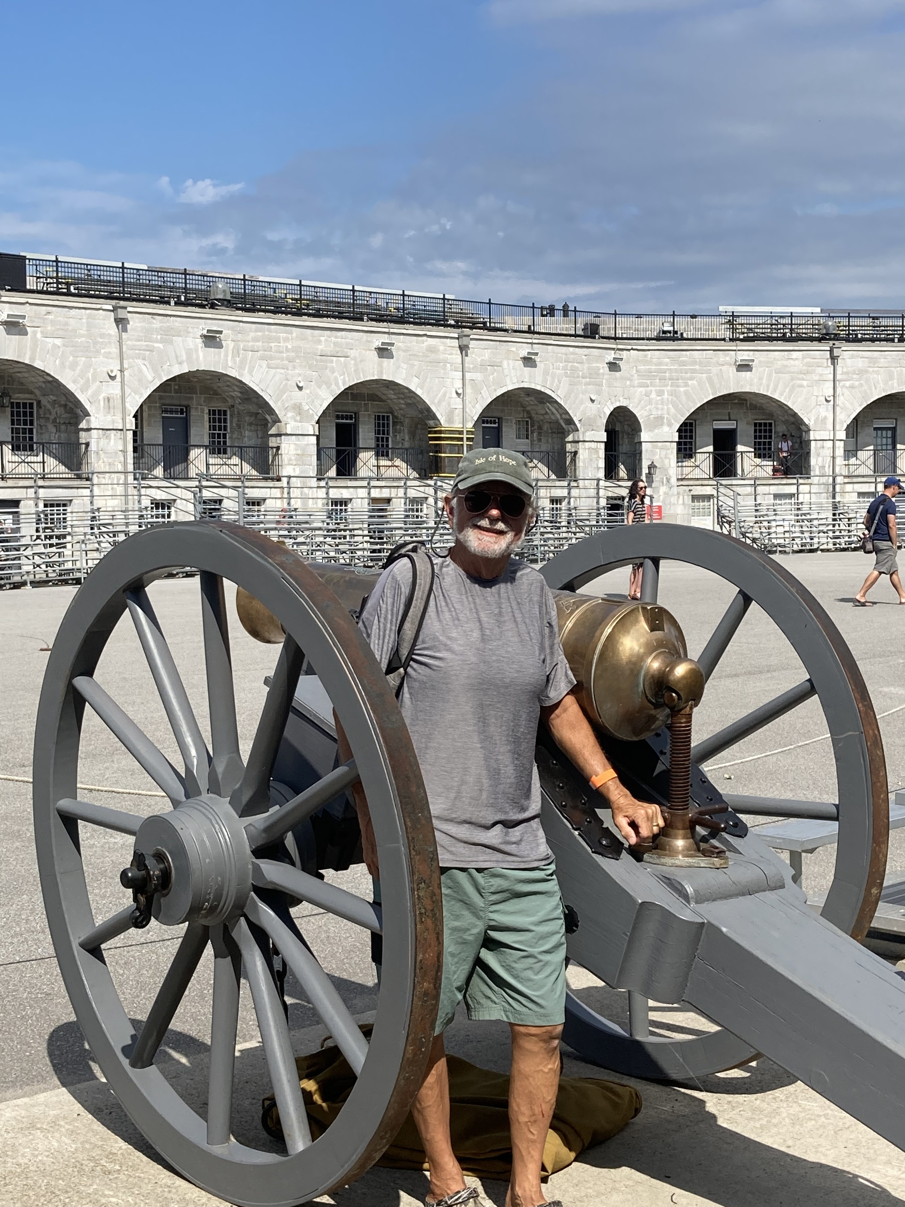
Next we tackled getting some Canadian postage stamps and Canadian money and took off for a little longer walk then we anticipated to Fort Henry. We got there just in time to see the reenactment of parade drill from h1867 in the British fort. Lots of cannon fire and rifle shooting. Afterwards the reenactors encouraged the children to learn the parade commands. Was fun to watch them dressed in oversized British uniform jackets get their directions all confused. However, all received honorary soldier certificates. Afterwards, we walked around the displays in the fort and headed back to town. We managed to catch a bus back to town so our walk was not so long.


Bill took some videos of the parade drills. Let’s see if I can add one.
Will spend this evening planning the next leg of our trip. I have researched so many wonderful looking spots along the Rideau River/Canal. Will be hard to narrow down our options

Here we are at the dock with our Canadian neighbors at Confederation Basin Marina in Kingston, Ontario.