Day 9. 2nd year. May 29Town of Gananoque and anchorage at Beau Rivage. Trip 1 mile. Total 2894

 Woke to another beautiful sunny day which will warm to 76 degrees!

We put the dinghy in the water and headed toward the town of Gananoque, ONT.  Gananoque is First Nation word that means place of two rivers or place of healing in Plano Iroquois language.


Bill felt a hesitation in the dinghy as we planed off on our way to town.  Once we got a shore he made some calls to see if a mechanic could come have a look.  Luckily we found someone willing to come.

We walked around town and had lunch.  After lunch, Bill headed to meet the mechanic and I continued exploring the town.  I enjoyed the beautiful brick and stone homes, many with gardens, 


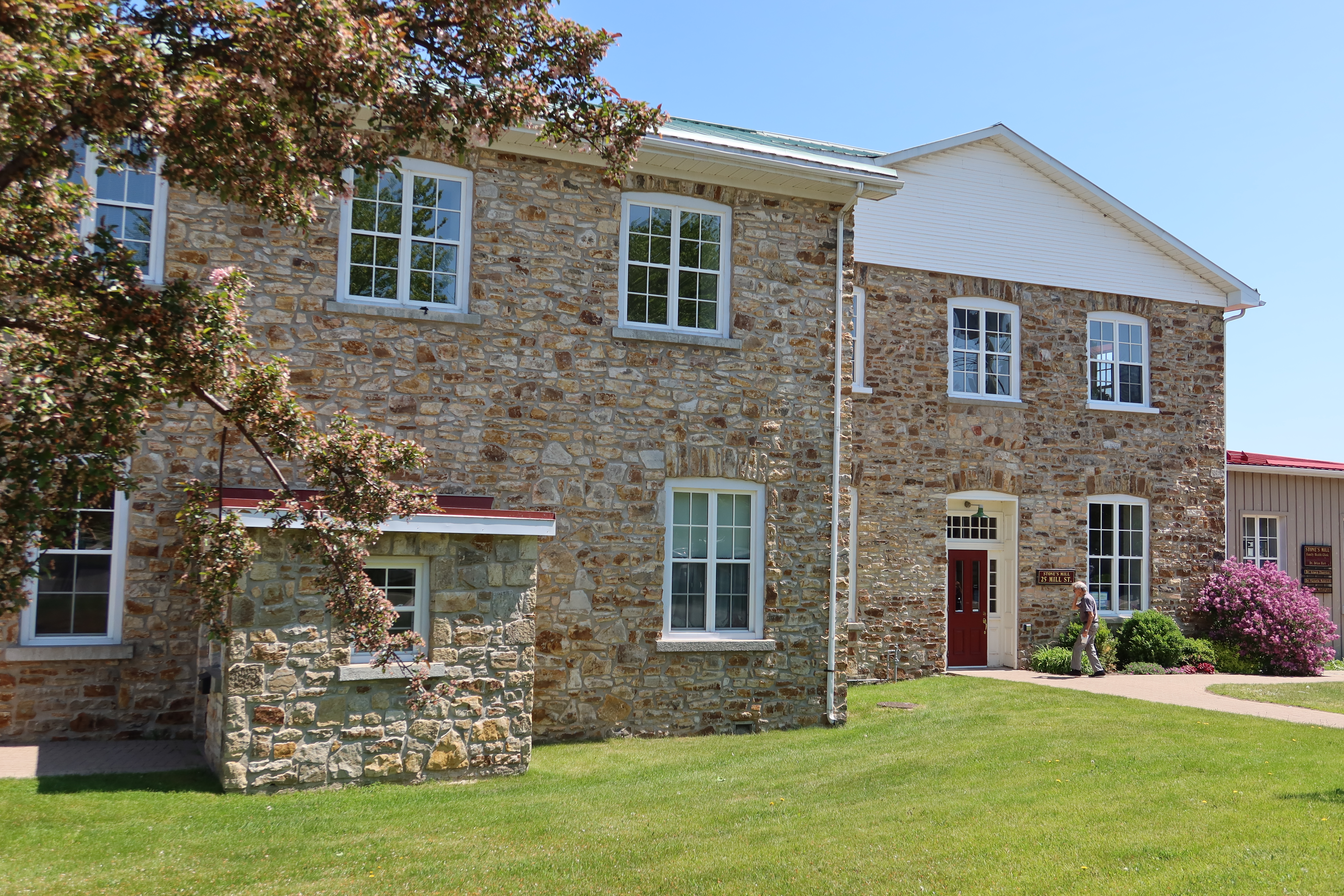
The old main Street and old mill building


The churches, one began as early as 1837.


Of course the town had a lovely waterfront and  the remains of the old fortification.   


and even a gaggle of geese!


Also walked through the History Museum of the Ten Thousand Islands.

So here is the history I learned.  The St Lawrence River was formed from the last of the ice ages, over one billion years ago. The indigenous peoples followed the receding ice into the Gananoque area some 10,000 years ago.  In 1535, Jacques Cartier arrived in the area and was the first to explore and establish the fur trade network here. It wasn’t til 1784 that permanent settlers, mostly British Loyalist after the Revolutionary War, came to the area.  The area thrived with lumber and grist mills along the rivers.

Of special note for all the historians, Gananoque was the site of the first battle of the War of 1812 along the St Lawrence.

During the 1800’s, Gananoque added industries of metal and wood working, with ferries plying their goods along the river.  In 1870 with the arrival of the railroad and steamship lines, the town became a thriving tourist destination with large hotels, summer cottages and elaborate summer homes for the wealthy New Yorkers who summered in the area.

Today the mills are gone, but the metal working industry and wood working trades and the tourism are all still alive.

Back to Bill-  After replacing the fuel filter and adding fuel stablilizer, we used the dinghy to return to the boat on Mac Donald Island.  Worked a bit better but not totally fixed.  We were sad.


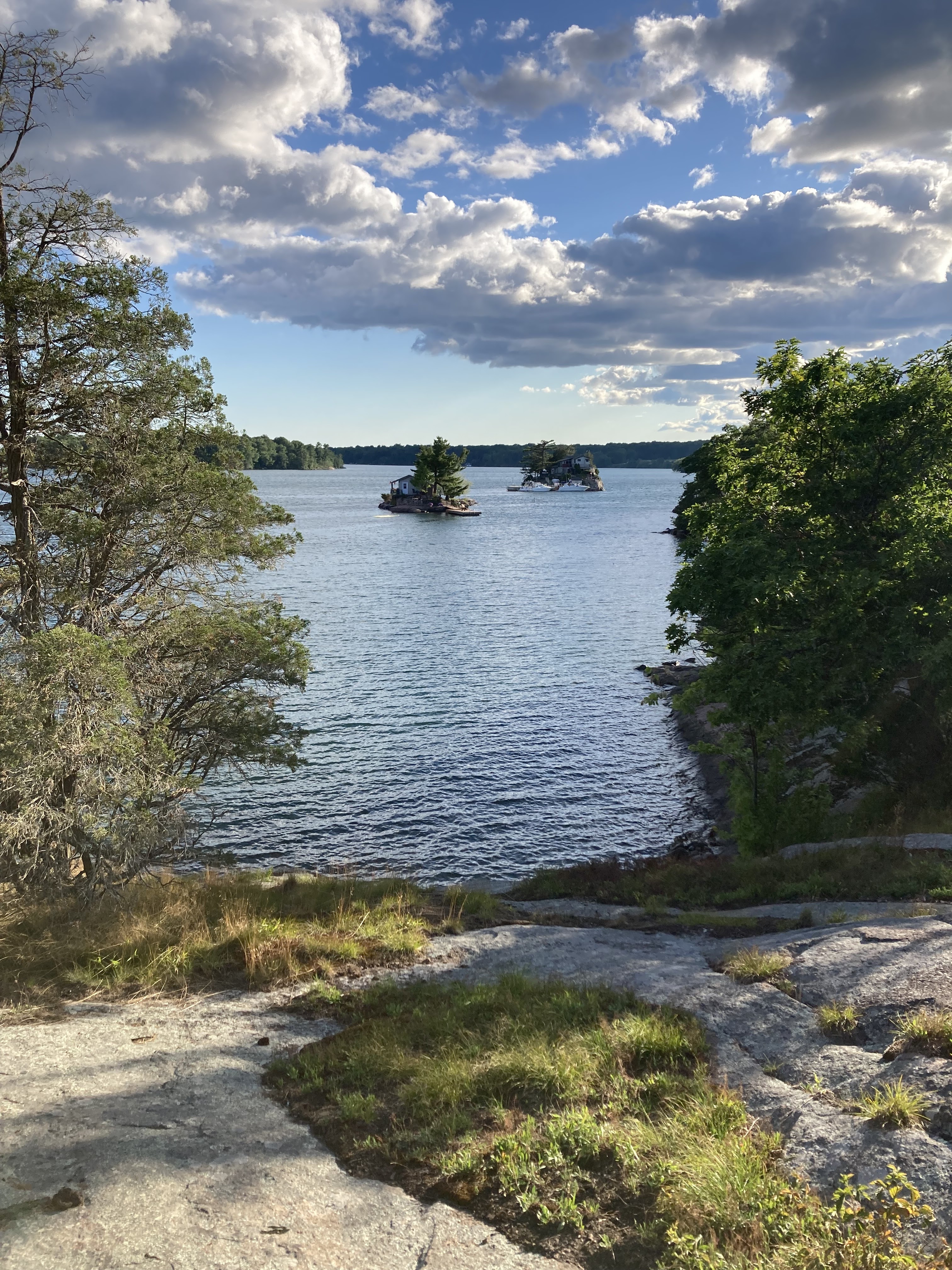
We then prepared Crustacean to make the one mile trip to Beau Rivage Island where we will anchor for the night.  This set of islands is the southern most on the Canadian side and are all smaller, with 1-3 houses on them, except Beau Rivage, which is PARC Canada site.  Beau Rivage is a rocky island filled with docks for the many houseboats and campsites. 


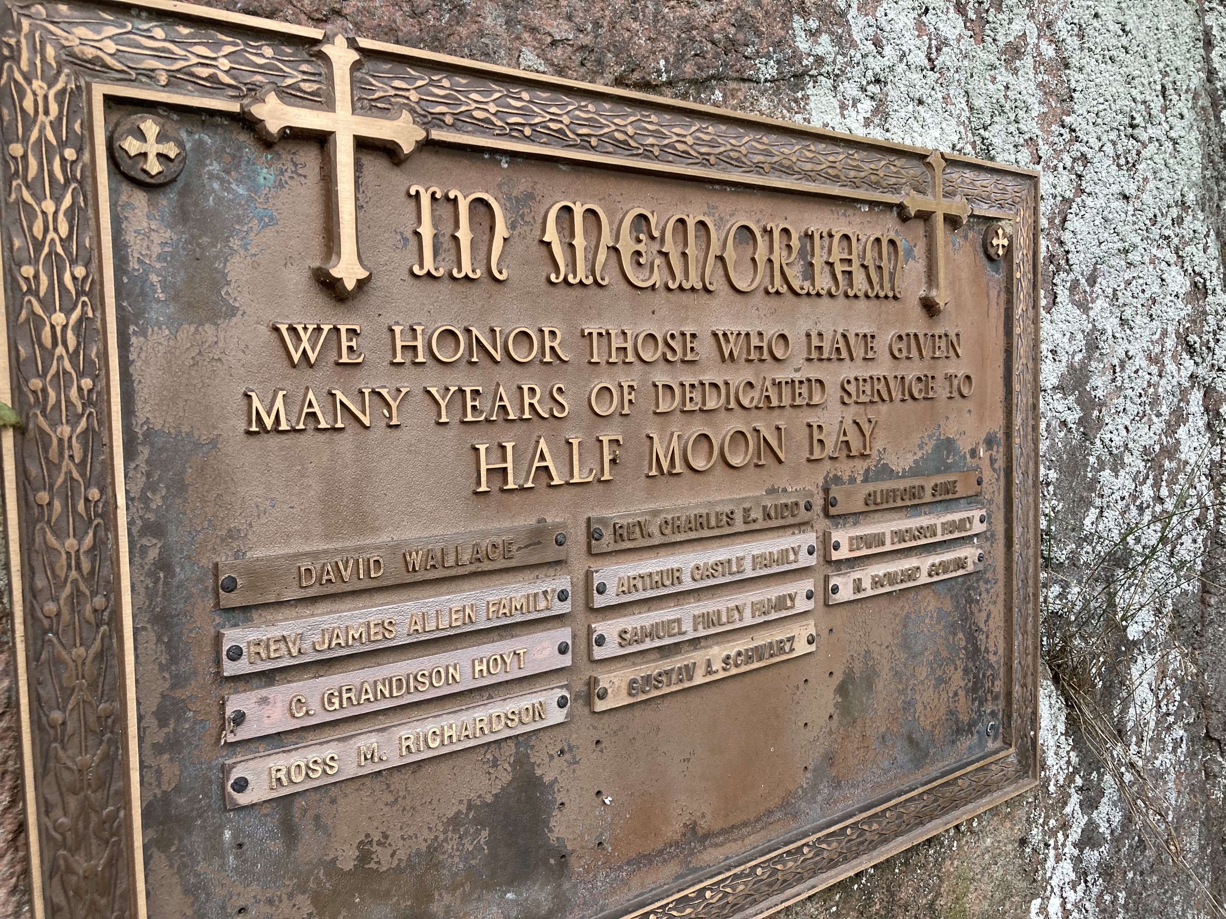
We also visited the Half Moon Church, which is an outdoor church in a cove that operates each Thursday during June-August.  Boats enter the cove and tie up to its walls to worship.  There is even a large granite rock shaped like a pulpit.


We thoroughly enjoyed our time in the Ten Thousand Islands, great forests to walk through, rocks to climb and very friendly Canadians.


Popular posts from this blog

Reflections on the Bahamas

Reflections on the Bahamas Over the past 10 weeks, we have traveled through Abaco,  Eleuthera and Exuma Islands and enjoyed the hospitality of the Bahamian people.  We have learned all about the islands, its unique geography - limestone, caves, blue holes and chalk cliffs; and colorful history-pirates and rum running, salt ponds and cotton plantations, boat building and wrecking/salvage.  Traveling over 1300 miles through narrow cuts and wide bays to vast depths of ocean, we negotiated the islands and found safe harbors, calm coves for anchoring, bays filled with moorings and marinas large and small.  This trip required us to pay close attention to the weather, the tides and currents as we traveled between and through the islands. The Bahamian people are warm and friendly, willing to give us rides, advice and directions, as well as some secret recipes!!  We enjoyed hiking trails, walking the beaches, snorkeling the coral rocks and reefs, discovering ruins and ol...

June 4-5. Day 63-64. On to Cape May New Jersey. 53.4nm. Total 1534 miles.

 Left Delaware City at 5:35am to be able to take advantage of the strong currents going with us while traversing Delaware River and Delaware Bay. The Delaware River goes south about 15 miles and flows into the Delaware Bay. As we travel south, New Jersey is to the east and Delaware is to our west. We are traveling just outside the shipping channel and are really moving at 10.9 knots.  That is three knots faster than we normally travel, as the outgoing tides are pushing us along.  Nice to have Mother Nature helps us save on fuel.  The Delaware River is about 8 miles wide so there is plenty of room for the freighters and the pleasure boats.  So far, we have not encountered any commercial traffic, but there is a large freighter behind us that will eventually pass us as they travel at 14 knots. The Delaware Bay proper varies from 23-29 miles wide and 26 miles long.  There are five lighthouses on the Delaware marking the shipping channel.  We went by Ship J...

July 26-27. Day 101-102. On to Kingston Ontario. 19.1 Nm. Total 2097

We began our day by pulling anchor and threading our way out of the Admiralty Islands and into the Bateau Channel.  This channel runs between the Canadian shore and Howe Island. The shoreline of Howe Island is a mixture of small cottages and farm buildings, but as we get closer to Kingston, there are many larger homes.  Howe Island is only accessible by boat or cabled ferries on the ends of the island. The Canadian shore was much the same minus the farms. Continuing down the channel, we had to take care to watch for the cabled ferries that connect the mainland to Howe Island.  A cable lies on the river bed and as the ferry moves along the ferry picks up the cable and after the ferry passes the cable falls back to the riverbed.  So you don’t go near the ferries as they are crossing the channel!   Closer to Kingston, we leave Howe Island and we travel behind Wolfe Island, which has wind turbines on its north west side like we saw as we passed this island on it sou...