Day 185-186 2nd year. November 24.-25 On to Destin Harbor and Panama City Miles. 21 Total Miles 5646
Weighed anchor on a cool sunny day. Yeah! Headed east in Santa Rosa Sound which narrows the further east we go.

The protected seashore continues on the barrier island and homes line the mainland shore.


We started playing Christmas music as we travel. Have to get in the spirit!
Had to Google the strange three legged tower on Santa Rosa Island and found that it belonged to the Eglin Air Force Base and it is used to test Hi Tech Weaponry. Most of the beach in this area belongs to the base.

As we get further east, we can see the high rises on Fort Walton Beach on both the mainland and on the island. Many homes and marinas line the shore.


Going under the bridge connecting the beach to Fort Walton, we enter the wide Choctawhatchee Bay. This bay takes us to the entrance of East Pass which leads to the Gulf.


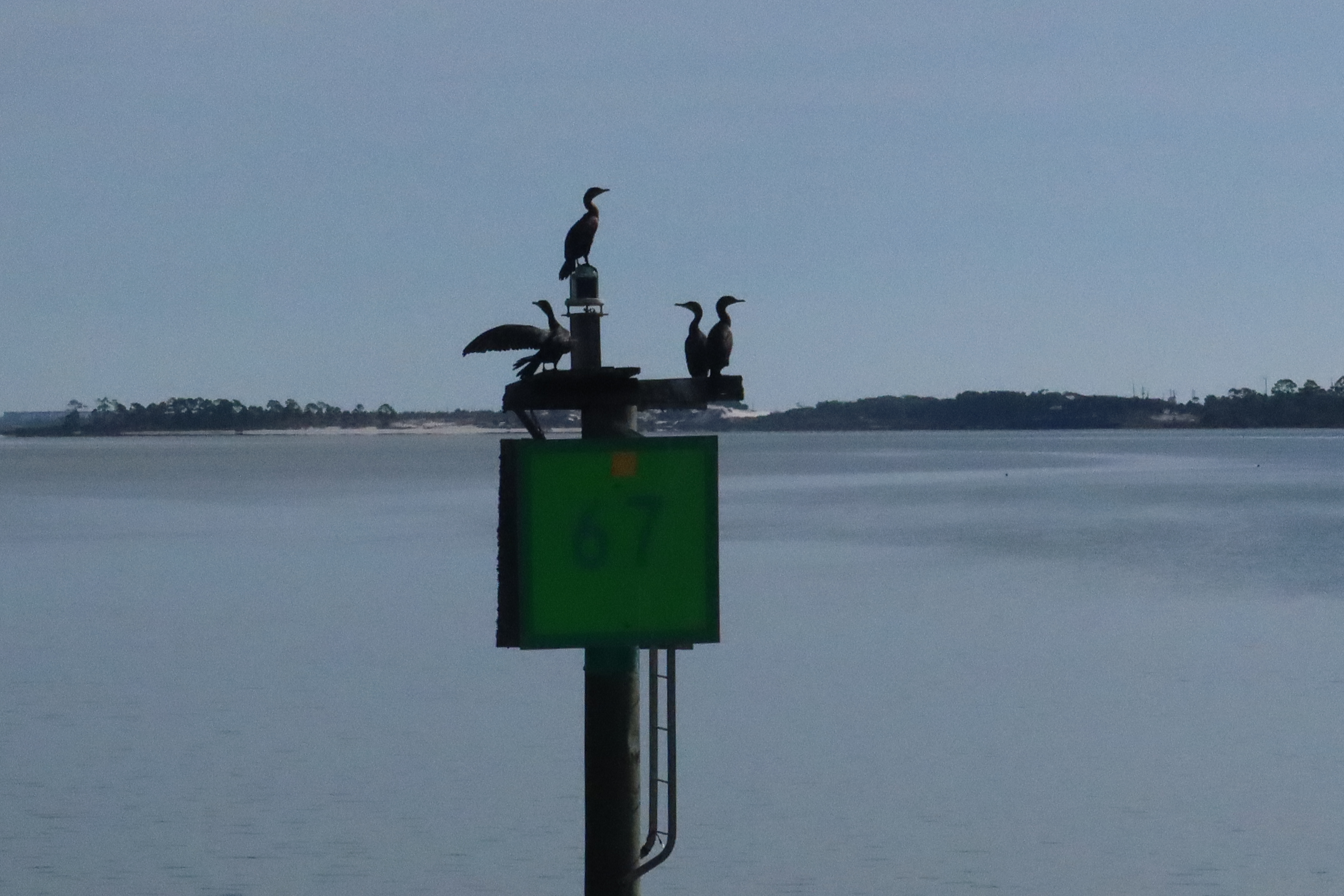
Dolphin began jumping out of the water to race to greet our boat as we approached the pass and rode with us until we turned into the pass.

In the pass we went under another bridge, that connects Santa Rosa Island to Destin Beach, and we picked up several dolphin in our bow as we headed out the pass and then turned east into Destin Harbor.


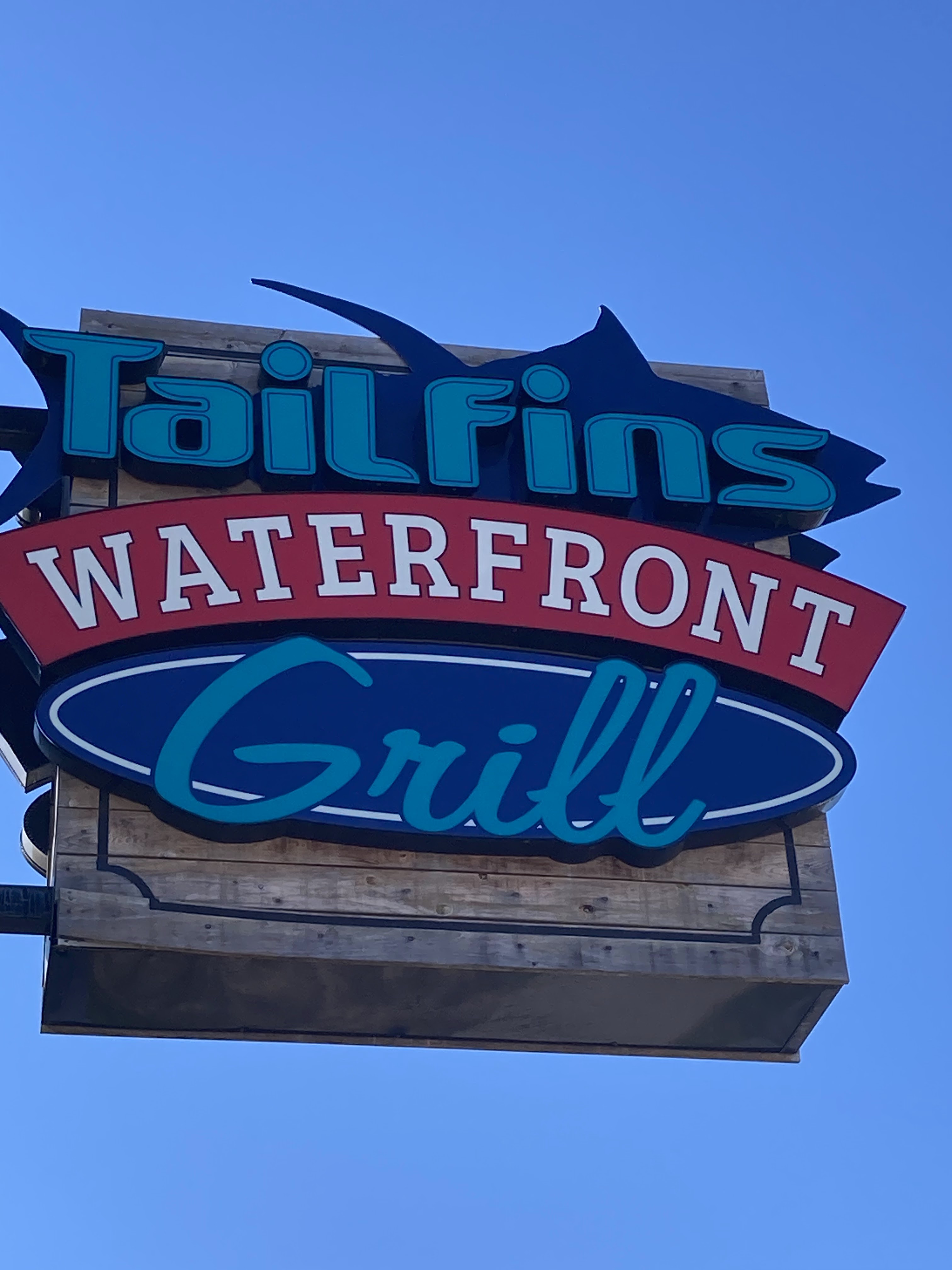
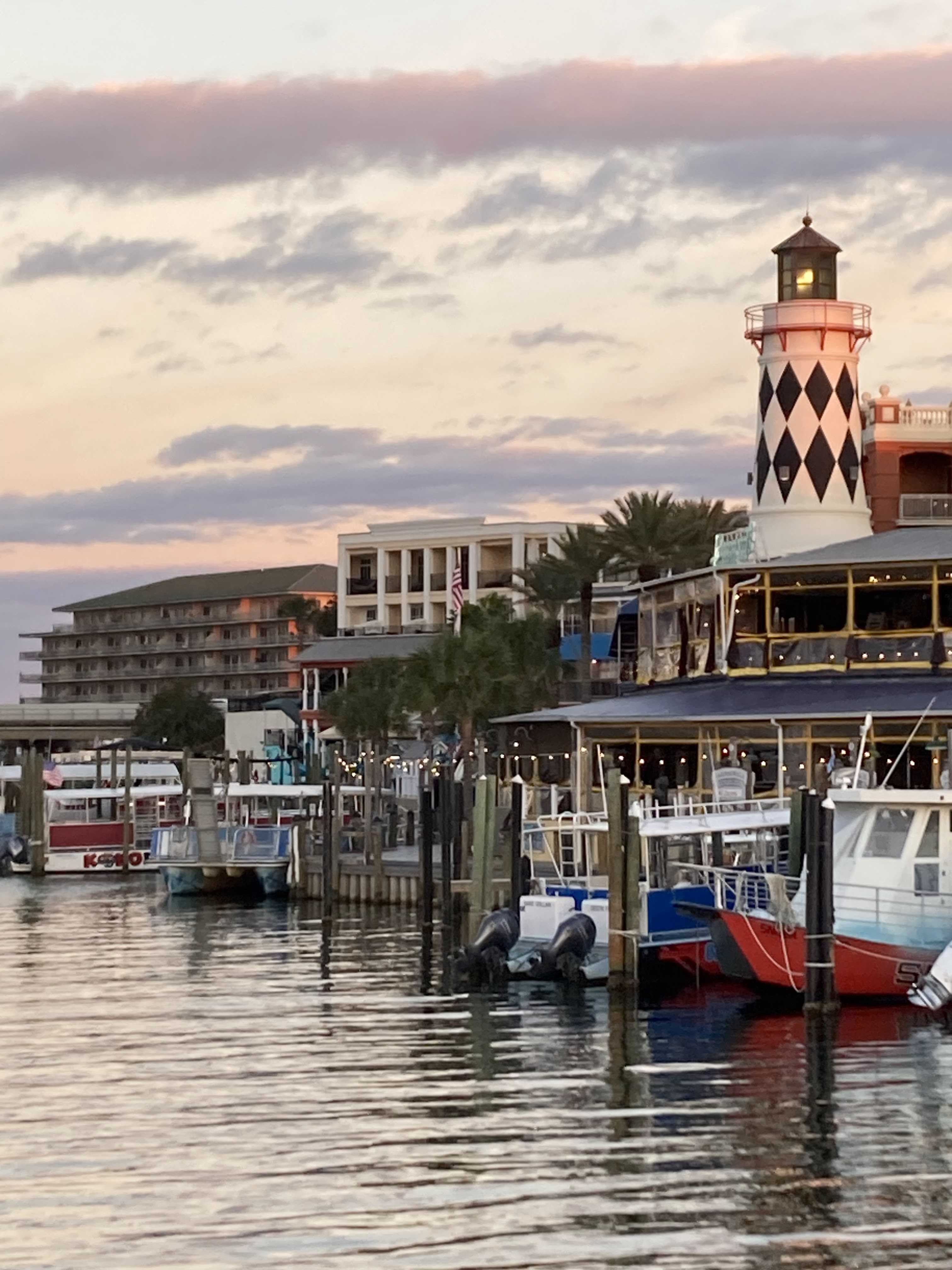
The harbor is lined with marinas, restaurants and motels all in a colorful tropical theme. We even passed a pirate ship and a boat for dolphin watching on its way out the harbor. All Florida kitsch!


We anchored in the harbor along with 8 other boats. After settling in we splashed the dinghy to get some lunch and walk this tourist town.


After lunch, we dinghied back to the boat and saw MV Darlin Lea, Trisha and Mike, were in the harbor next to us. We dinghied over and took them for a ride around the harbor and tried to get to a post office, but that attempt was thwarted by it being a holiday. Will try again next city.
We then invited Trish and Mike onto the boat and shared some Clearwater anchorages and marina with them, then took them back to their boat.
Lastly we enjoyed the pretty sunset

Day 186 November 25. On to Smack Bayou Panama City. Miles 57 Total Miles. 5703
Weighed anchor at first light and slowly left Destin Harbor to enter Choctawhatchee Bay and headed east.


We traveled about 20 miles in the large wide Choctawhatchee Bay passing the beach communities of Miramar Beach and Santa Rosa Beach. Not able to get pictures as the shore is so far away. We can only see the outline of the high rise condominiums. But Bill did pose for a shot to compensate.

The dolphins found us early this morning and accompanied us through the bay. We also saw lots of brown pelicans diving for their breakfast.
Had another surprise barge meet us going west in the bay. He was over 600 feet long!

As we go under the second bridge crossing Choctawhatchee Bay, the bay begins to narrow with marshland on the mainland and homes along the beach side shore.


Here the bay ends and with no barrier island, the Army Corp had to dig a channel for the next 17 miles to continue the Intracoastal and connect it with West Bay and St Andrew Bay near Panama City.

The canal starts out with high earthen walls created from the fill that was dredged to form the channel, along with pine forests on both shores.


As we near the end of the canal, its path follows West Bay Creek and the shoreline is more marsh grasses and forest.


Here we also had a Mom and baby dolphin swim in our bow and then move to our wake almost all the way through the creek section of the canal.

As we go under the bridge, we enter West Bay which is seven miles long and wide enough that we can see all the way to the Panama City Beach high rise condominiums on the horizon. The shoreline of the bay is marsh grass and forested, with only a scattering of homes.


While crossing West Bay, we ate lunch and were entertained for most of the trip by dolphins coming and going, over 20 in all. Some were in our bow, others were in our wake, some jumping completely out of the water multiple times, others swimming upside down and sideways, one even barrel rolled while swimming with us. We had to laugh at their antics all through the seven mile crossing.
As we turned from West Bay into St Andrew Bay, we can see the homes of Panama city lining the shore. and the homes and high rise condominiums on Panama City Beach.
Going under the US98 bridge that follows the FL Panhandle coastline, we head toward the Panama City Pass that leads to the Gulf and pass a large freighter terminal.


Crossing the pass entrance we stayed in the Intracoastal and follow the shore of Panama City til we arrived at Smack Bayou which is our anchorage for the night. We opted to skip visiting Panama City as we had been there before.

Once settled in we did our chores and then I tried to tackle Christmas shopping online, while Bill puzzled over the weather and planning our trip through the Big Bend area of Florida.
Some drone shots of our anchorage in Smack Bayou.


