Day 187-188. 2nd year. November 26-27. On to Apalachicola. And then on to Carrabelle Miles 53. Total Miles. 5756
On this drizzly cloudy morning, we slept in to let the worst rain pass us by. Weighing anchor in the off and on drizzly rain, we headed out of Smack Bayou back into the East Bay section of the Intracoastal Waterway, which is 25 miles long and between 1-2 miles wide.
Along the bay Panama City is on our north and an undeveloped marshy forests is to our south.
The further we traveled up the bay, the less development we saw and the forested shoreline returned.


Sorry but my pictures are through the windshield due to rain!!!
Even in the rain we had dolphin join us in our bow and wake. The rain does not matter to them, they still like to play!
As we begin to reach the end of the bay, it narrowed with more marshes and bayous like the one we anchored in last night.


East Bay ends and the Intracoastal follows Wetappo Creek . Much of the creek is marsh grass with many oxbows. It surprised us to find a small community of about 20 plus stilt houses quite a ways from civilization. Avid fishermen, I'm sure.


Wetappo Creek narrows and meanders quite a bit so the Army Corp had to dredge a channel in the less navigable areas to connect the Creek to Lake Wimico. This makes the channel winding in the natural creek section and straight along the dredged sections. Along the way we saw two bald eagles, osprey and lots of herons.
We passed through the channel and entered Lake Wimico, a 4 mile shallow lake, so we had to stay in the channel. Leaving Lake Wimico, we enter Jackson river and then the Apalachicola River and we are back in the Eastern time Zone.

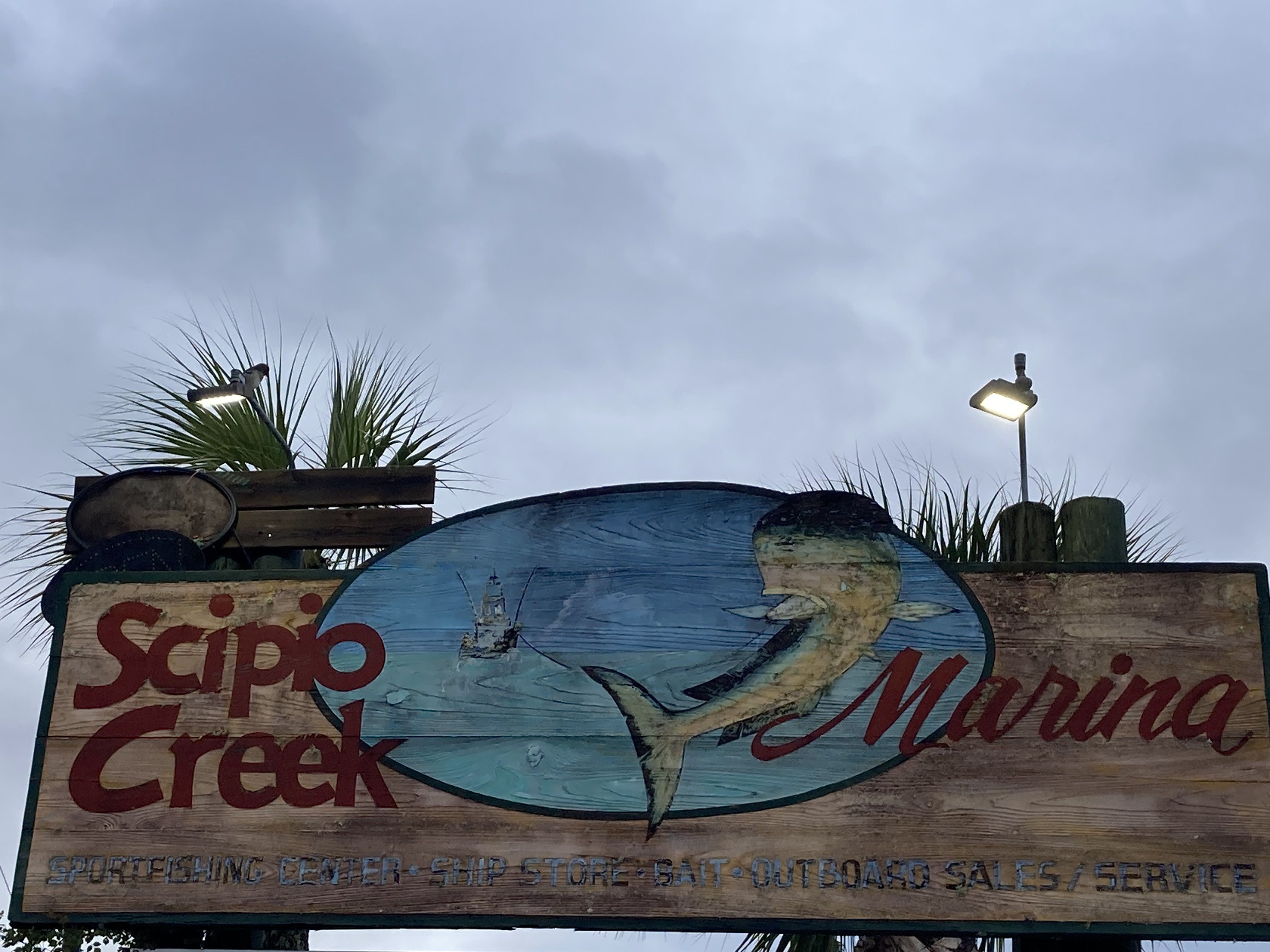
The Apalachicola is a wide river that winds its way to the Gulf. This river was heavily used to transport cotton via steamship in the 1800's. But before we got to the Gulf, we turn off in Scipio Creek passing the Shrimp boat fleet and arriving at our marina for the night.


Once settled, we walked the four blocks into the old town of Apalachicola and revisited the 1907 Gibson Inn for a drink in their beautiful bar. There had been some renovation and expansion since we saw this inn last, but the old inn building with its wood lobby and bar were as we remembered.


We walked through town relearning its history in the cotton trade, steamship lines and the part it played in the Civil War as a vital trade route for both the Union and Confederacy. Along the way Bill located some mermaid and pirate friends in an antique shop.


Two old homes, Orman House dating into the earlier 1840's is famous for its part in the Civil War and the Raney House, whose occupants were one of the first steamship founders in Florida and his son was the first Attorney General and first Florida Supreme Court Justice. Also Apalachicola is famous for Dr John Gorrie, who invented the ice making machine and is credited as the father of refrigeration and air conditioning.


After taking in the town, we had a fresh seafood dinner- shrimp and grits. Yum! Bill found another priate friend in the restaurant.

Day 188. November 27. On to Carrabelle, FL. Miles 27. Total Miles. 5783
We left Scipio Creek Martina at 7:00 and headed out the creek to rejoin the Intracoastal on a bright sunny 50 degree morning.


Heading under the John Gorrie Bridge, we enter the expansive Apalachicola Bay - over 5 miles wide and over 10 miles long, with St George Island as the barrier island to the south. We had traveled to St George Island on vacation and enjoyed the beautiful beaches and 50-80 foot sand dunes.

We traveled the length of Apalachicola Bay and entered St George Sound which takes us past the east end of St George Island to East Pass.

At East Pass, we turn north away from the pass and head up to the Carrabelle River and our marina for the night- C Quarters.


We topped off the tanks and got settled in our slip, then tackled chores - laundry, a quick run to the grocery and final research for the Gulf crossing.
Carrabelle is a small town with no stop lights, a grocery, hardware store, fresh fish store, 3-4 restaurants and three marinas all within walking distance of each other. The town historically has depended on the Gulf fishing for it mainstay and it still thrives on the fishing/shrimping industry plus a bit of tourism today.
Had dinner with fellow Loopers who all shared their experiences and knowledge of crossing the Gulf, a daunting challenge, as so much depends on the weather. And we all know how accurate the weather prediction are!
