Day 194-195. 2nd year. December 3. On to Redington/Clearwater and then to Home. Miles 15 Total MIles 6021
Slept in again. Was nice to finally catch up on our sleep. Found our morning a bit foggy but promises to be a sunny day once it burns off.

One of the boaters attracted a female manatee and her baby with his hose, so we walked over to the next dock to enjoy the show. Manatee are often found in shallow areas this time of year as they like the warm water. They also will take advantage of access to freshwater, especially if a hose is left hanging over the side of a boat.

Bill also took some drone shots of Caladesi State Park.


We did one last beach walk before we left today, turning north to explore that part of the island. Found a few turbans, an olive, 2 small horse conch and a whelk for our shell treasures today. Sea fog started to come in off the Gulf so we turned around and headed back to the boat.
So we readied the boat to leave and follow MV Erica out the alternate channel. We still found some skinny water, but it saved us about 2 miles of travel to reenter the Intracoastal and head south.
Our route on this cloudy day took us past the city of Clearwater with its many homes that line the shoreline and it new music venue, and high rises and marinas downtown, as well as Clearwater Beach and its condominiums and homes and marinas.


Next we traveled past the city of Largo and Indian Shores and Indians Rocks Beaches. providing a similar landscape as Clearwater, except the beaches are more low key with smaller buildings. The Intracoastal through Indian Rocks and Indian Shores is very narrow so we had to slow our speed to minimum wake quite often.


Just as "The Narrows" ends we turned off into a bay in Redington Beach to anchor for the night. We just missed getting rained on. We could see the rain and slowed to let the it pass so we would not get wet while anchoring. Lucked out missing the rain that threatened to get us wet most of the afternoon.
In our anchorage we are surrounded by homes on the east and the beach road and its high rise condominiums and restaurants to the west. We usually launch the dinghy and enjoy one of the restaurants, but it promises to rain off and on all night so we just stayed aboard.


We did enjoy listening to the festivities and lighting of the Christmas in the Redington Park. The tree lighting was received with many oohs and ahs!
Day 195 December 4. To Home. Miles 18 Total miles 6038
Woke to a foggy morning, so we waited a bit to leave. The sun came out 30 minutes later and the fog cleared. We weighed anchor and returned to the Intracoastal to head south, passing Madeira Beach and Seminole. The Intracoastal widens at this point and joins Boca Ciega Bay.
We had two dolphin guide us to the Welch Causeway bridge passing Bay Pines Park and Johns Pass which separates Madiera Beach from Treasure island. Two more dolphin showed us the way to the next bridge at Treasure Island Causeway. It was good for us as we encountered the remnants of fog just north of the bridge.


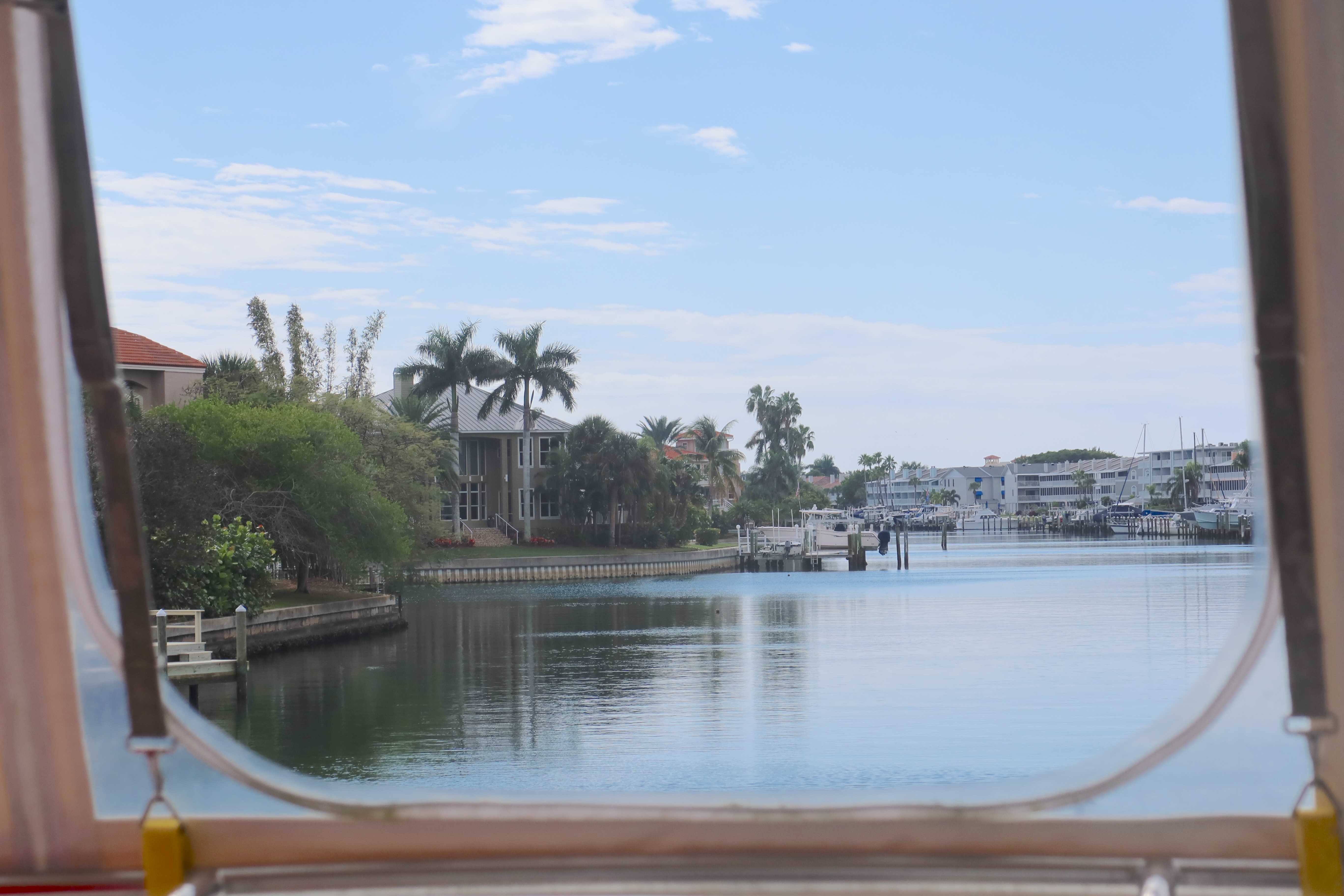
Not much has changed on the waterway since we traveled through here last. The shore is still lined with homes.


Going under the next bridge at Corey Causeway, we traveled past the north end of St Petersburg Beach, before turning east to cross Boca Ceiga Bay and go to Gulfport Marina for a pumpout.
There we were joined by longtime boater friends, Phil and Aggie.


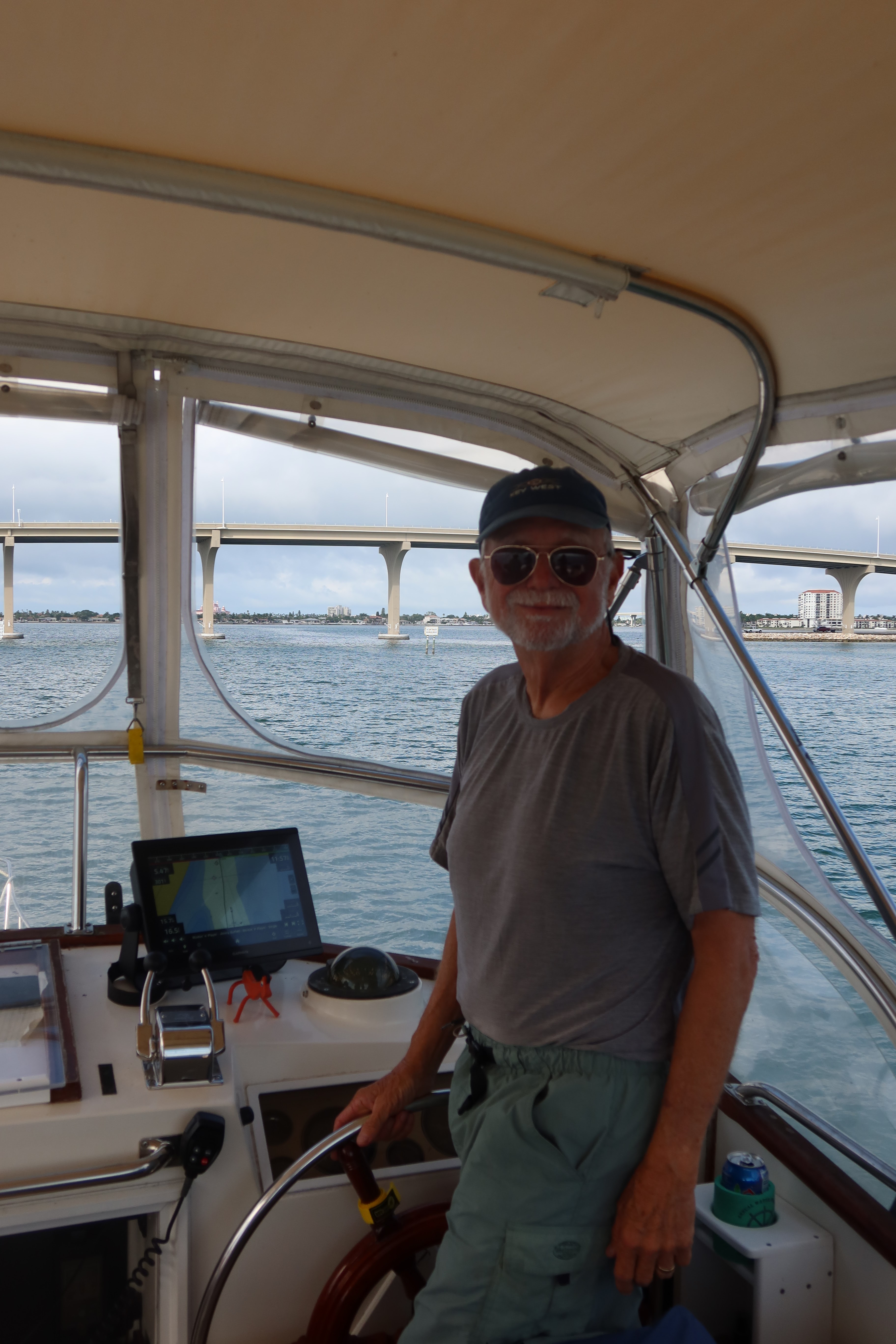
They joined us on the final leg of our two year journey from Gulfport to our home in Tiera Verde. We toasted our wake crossing with some wine and fruitcake!
.jpg)

.jpg)
Traveling under the Bayway bridge and down our canal was bitterweet. Glad to be home, but also a bit sad to end the journey which taught us much, allowed us to touch history and see the beauty of Canada and our country. And of course, will miss the camaraderie of all the boater friends we met along the way.
Was interesting to watch a fellow Looper go under the Bayway before us and continue on their journey.


We settled in at the dock and began the process of unloading!

Found we had come home to a car with a dead battery, so after a jump we headed out to return Phil and Aggie to their car and get a new battery! Always something,
Will spend the next few days, unpacking and cleaning the boat and getting the house back in order. I will do one last final blog entry soon.