Reflections on the Bahamas
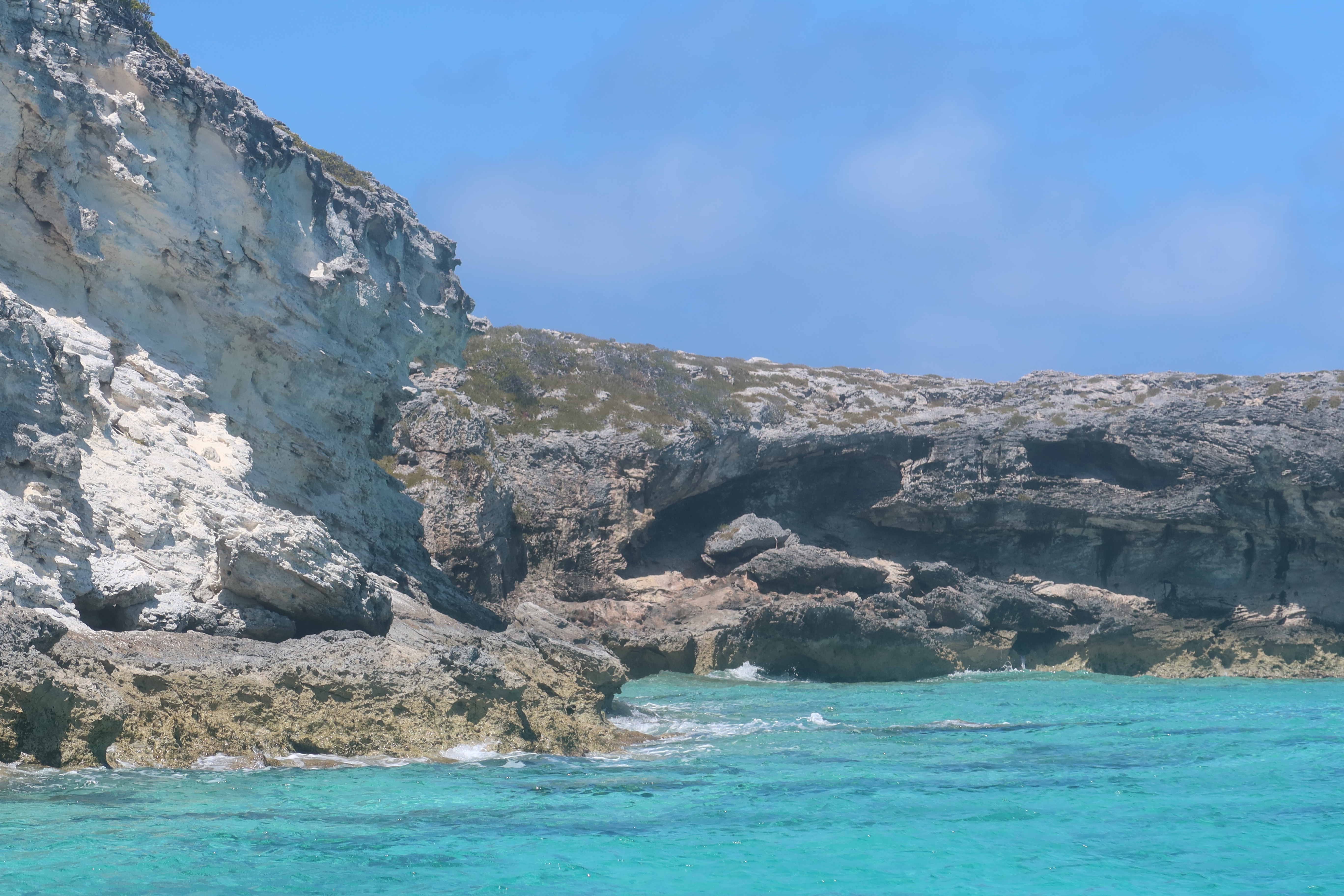
Over the past 10 weeks, we have traveled through Abaco, Eleuthera and Exuma Islands and enjoyed the hospitality of the Bahamian people. We have learned all about the islands, its unique geography - limestone, caves, blue holes and chalk cliffs; and colorful history-pirates and rum running, salt ponds and cotton plantations, boat building and wrecking/salvage.
Traveling over 1300 miles through narrow cuts and wide bays to vast depths of ocean, we negotiated the islands and found safe harbors, calm coves for anchoring, bays filled with moorings and marinas large and small. This trip required us to pay close attention to the weather, the tides and currents as we traveled between and through the islands.
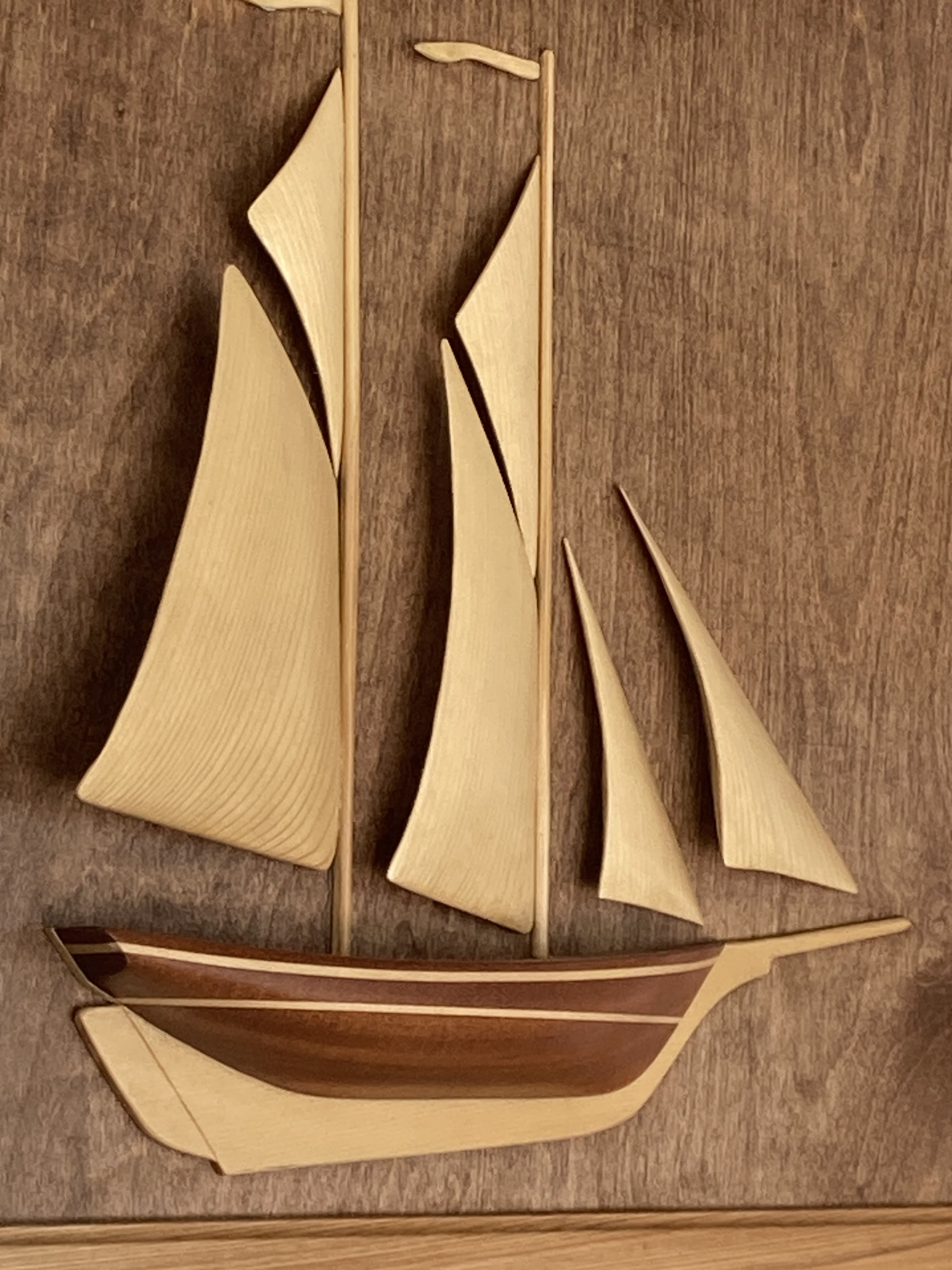
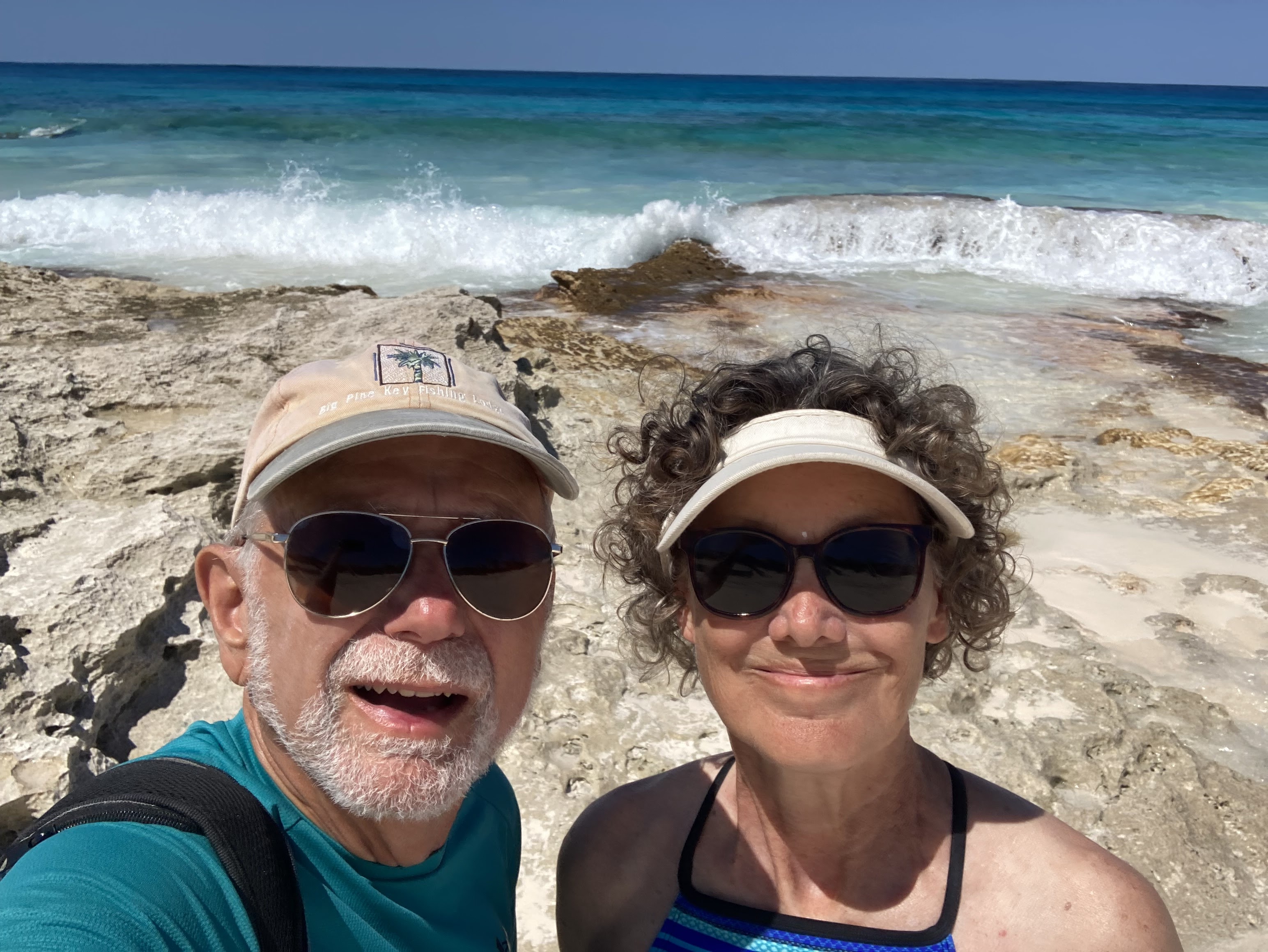
The Bahamian people are warm and friendly, willing to give us rides, advice and directions, as well as some secret recipes!! We enjoyed hiking trails, walking the beaches, snorkeling the coral rocks and reefs, discovering ruins and old forts, visiting settlements and larger towns, enjoying the Bahamian conch and other local offerings at the restaurants, perusing the straw goods, canvas bags and wood and bronze work of the local artists.
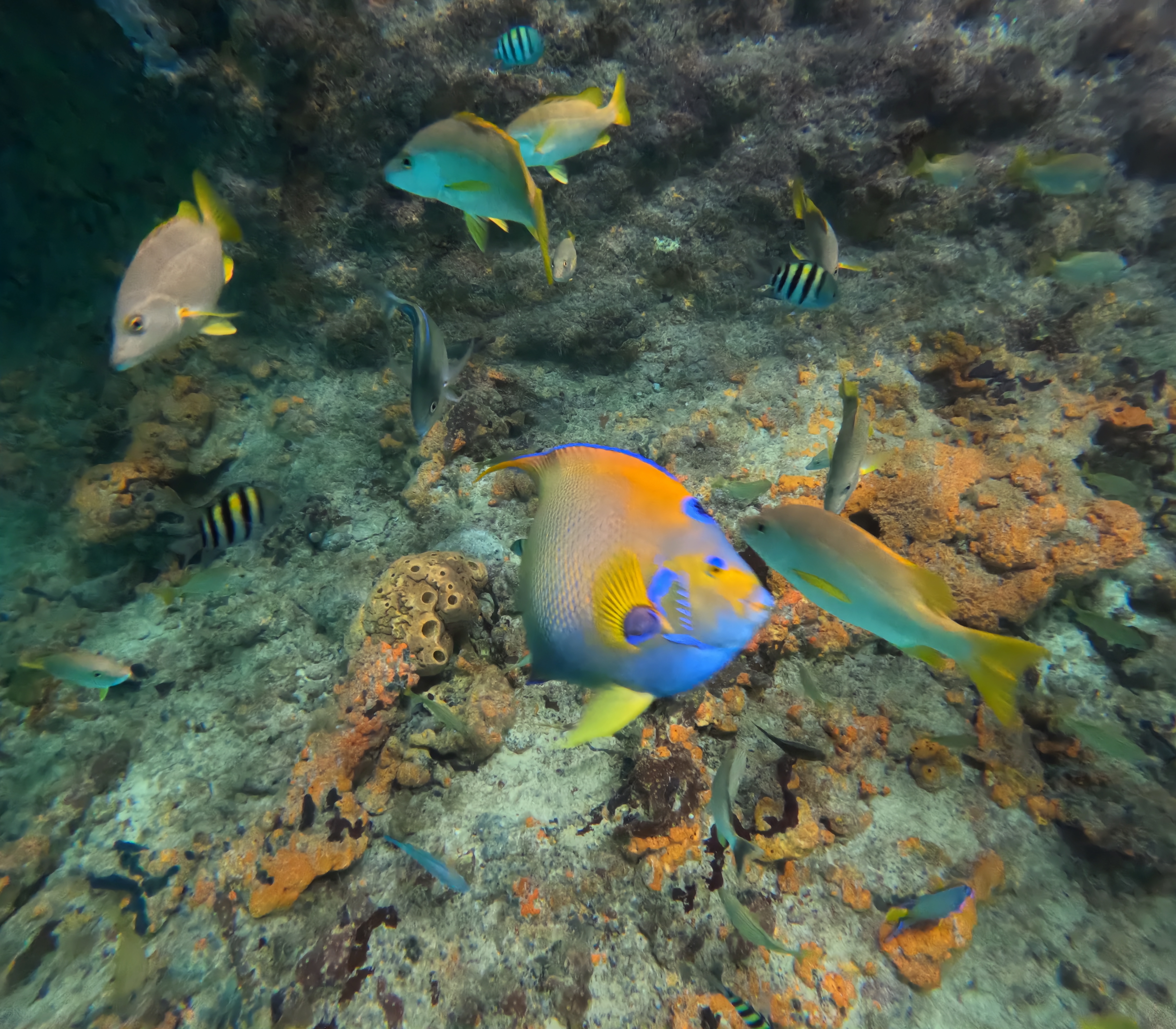
We were amazed at all the reef fish, green turtles, iguanas, swimming pigs, rays and nurse sharks; the Land and Sea Parks; the fancy mega yachts, cruise ships, commercial fishing fleets, ferries and mail boats; the mangrove creeks and limestone formations that form baths and swimming holes; paths and beaches decorated by fellow boaters who traveled there before us; sailing regattas and Bahamian boat building, and the neighborhood roosters who called to use each morning.
We will remember best the beautiful turquoise waters and gorgeous sunsets.


Small settlements and towns - New Plymouth, Hope Town, Man-o-War, Great Guyana, Munjack, Abaco and Spanish Wells and Little Harbor, Eleuthera and Black Sound, Exuma


Roosters crowing and directional signs


Government docks, freighters, ferries, mailboats and lots and lots of catamarans


Sandy beaches with rocky outcroppings


Cruise ships and Mega Yachts


Friendly locals and the optimistic Bahamian spirit


Green turtles and curly tail lizards


Anchoring off beaches in protected coves or mooring in bays


"Decorations" left by previous boaters that help guide you along the path to the beach on the Atlantic side


Fellow cruisers, some like us traveling for a few months and others who have wintered in the Bahamas for years.


Lighthouses


Ruins of resorts and cotton plantations


Albury's Sail Shop, sailing skiffs, half models and fiberglass boats


Marsh Harbor- the "big city" and its large port and a very big grocery store!


Quaint shops and cottages


Waves crashing onto limestone rocky shores.


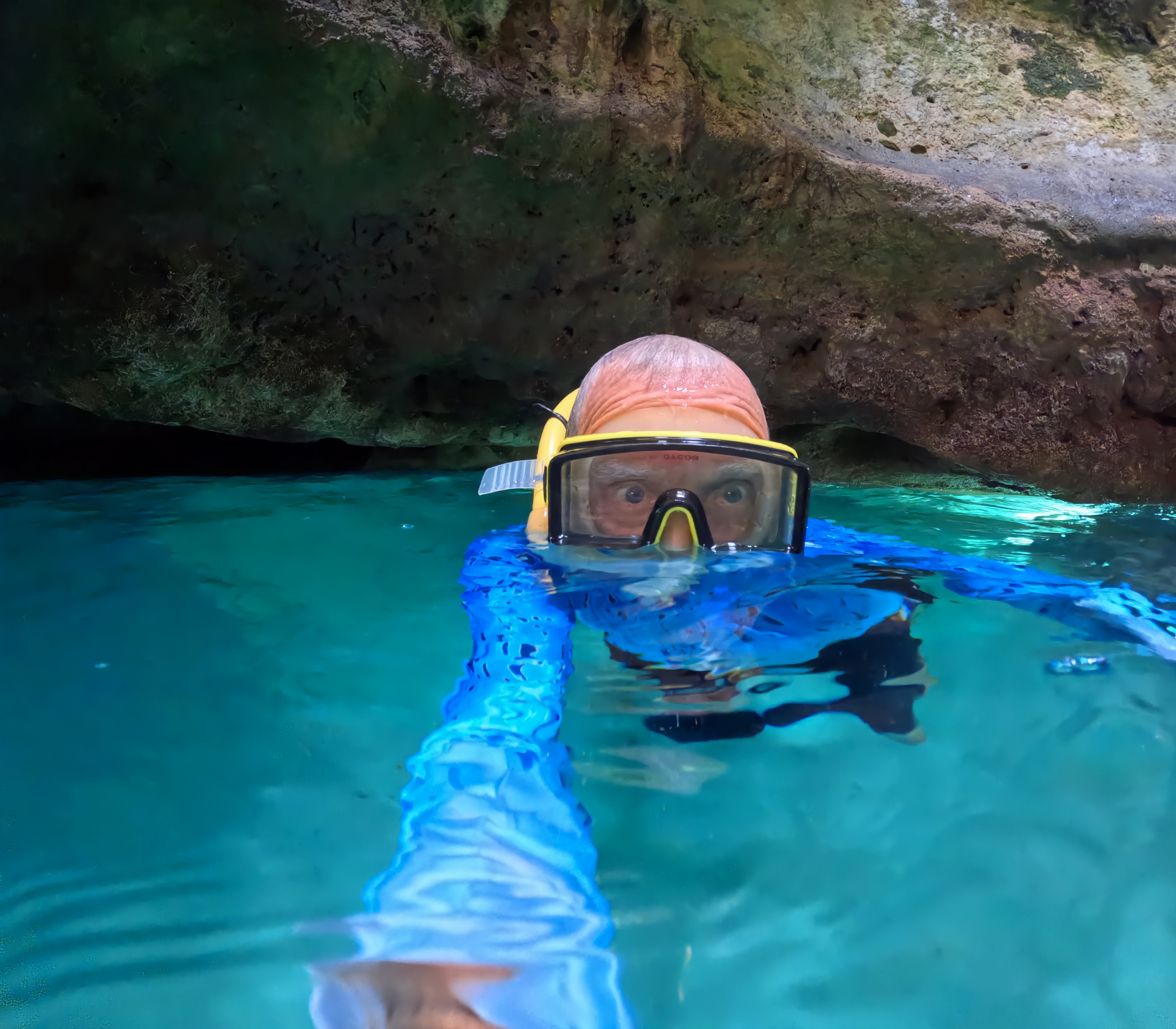
Caves in the limestone shores


Little Harbor's bronze sculptures


Spanish Wells fishing fleet, Harbor Island, Queen's Bath and Glass Window on Eleuthera


Allen's Cay's Rock Iguanas that greet you on the beach


Shroud Cay's Mangrove Creeks and its Washing Machine, beautiful beaches and hiking through salt ponds and rocky cliffs.


Hiking up hills to magnificent views of the island or the Atlantic or Exuma Sound


The Land and Sea Park and Warderick Wells - the whale skeletons, hiking trails, snorkeling and Boo Boo Hill


Blue holes, blow holes and white cliffs and Bell Rock


Local Bahamian restaurants and conch entrees


Swimming pigs that come to your boat hoping for food and Staniel Cay Yacht Club


Sunken planes


Late 1700's fort and buildings of Nassau - Fort Montague, Fort Caroline, Fincastle and the Queen's Staircase, and British Colonial Hotel and Christ Church Cathedral


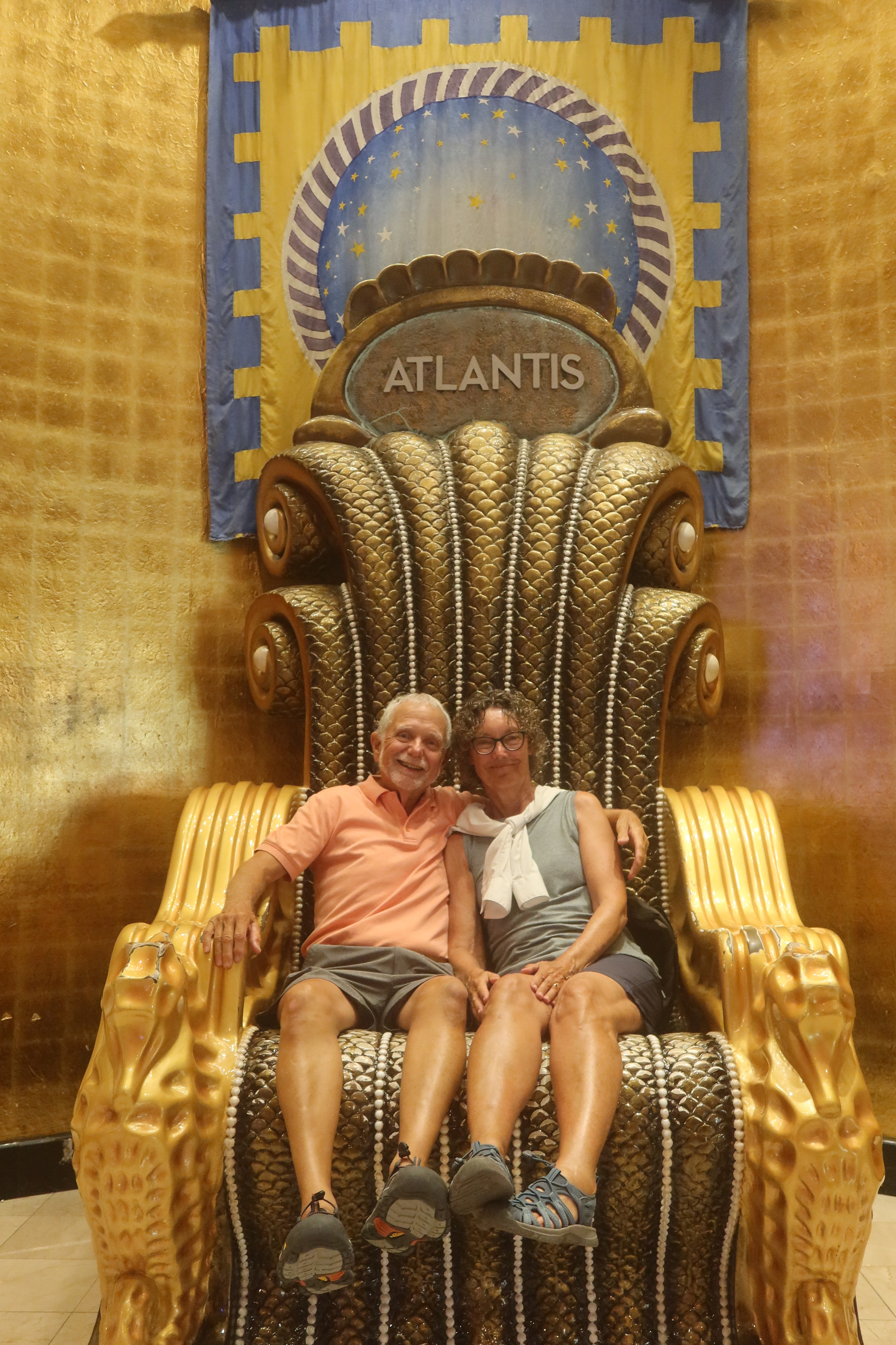
Enjoying the Atlantis resort on Paradise Island and its water parks and many aquariums


Hemingway's haunts and fishing tournaments in Bimini


We thoroughly enjoyed exploring the Bahamas Cays.
We will miss the Bahamas. - especially its crystal clear blue waters


